Distance: 2.3 miles round trip on trail
Summit Elevation: 2825'
Prominence: 1735'
Elevation Gain: 630' (combined)
Elevation Gain (in Empire State Buildings): 0.50
Round trip time: 50 minutes
Recommended water: 16 oz.
Parking/Fees: Free on Stunt Road
Difficulty: Easy
I think this is the shortest hike to an official Sierra Club peak I've done, not counting drive ups. It took 22 minutes to summit Saddle Peak East. The broad flat top did not have a distinctive high point. I found a buried cement block and a pole sticking up and either could have been the high point. I found no register or benchmark, either. Even though it is fenced in, and not on the lower peaks list, I wandered over to Saddle Peak West to see what was there. There are some cool boulders along the way and just below it. I followed the fence looking for any sign of the official high point. It appears to be behind the fence on private property. I got as close as I could legally get before turning around and heading back. Next up was Calabasas Peak.

Start of the trail from Stunt Road

Saddle Peak East above the water tank
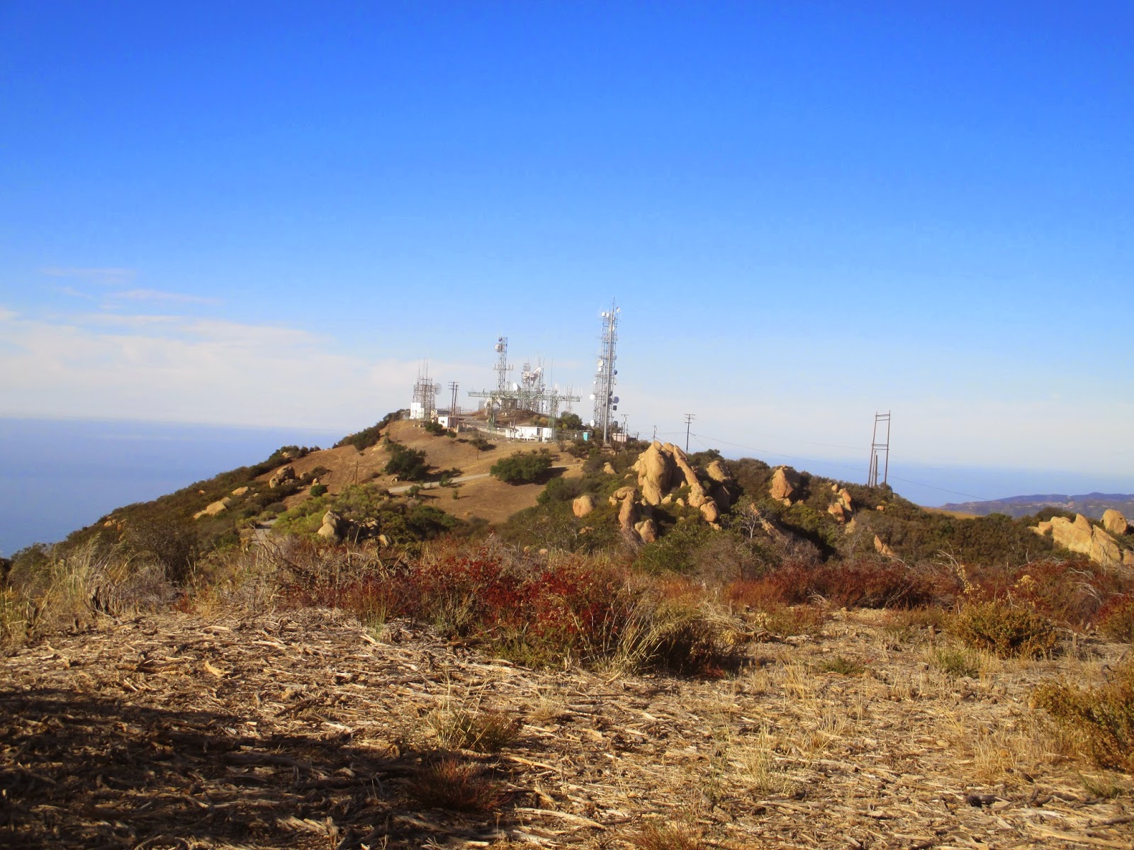
Tower infested Saddle Peak West from East

Boulders on the way to Saddle Peak West

As close as I could get to the high point behind the fence and razor wire


No comments:
Post a Comment