Distance: 4 miles round trip on dirt road and use trail
Summit Elevation: 2163'
Prominence: 623'
Elevation Gain: 1000'
Elevation Gain (in Empire State Buildings): 0.80
Round trip time: 1 hour 45 minutes
Recommended water: 48 oz.
Parking/Fees: Free at turn out on Stunt Road
Difficulty: Easy
Calabasas Peak rises somewhat prominently above several long. jutting plates of rock in the eastern Santa Monica Mountains. The Calabasas Peak dirt road winds up from Stunt Road. It is a mostly gentle grade and takes you through the angled plates and other interesting geologic features. The plates look like good climbing fun and probably not too hard. They are sandstone conglomerates with plenty of texture. After the road crests the ridge, a clear use trail appears on the left to take you to the top. The summit area is small, with a collapsed rock cairn, an ammo box holding the register, and an LA Department of Public Works benchmark stamped "Dry Canyon". I met a couple of hikers on the way up and down, and based on the volume of signatures in the register, this is a very popular peak. After signing the register and eating my last snack, I continued past the peak to what looked like an old Nike anti-aircraft missile platform. It had one silo that was supposed to be sealed, but had been ripped open. A metal ladder led down into murky green water only a couple of feet or so from the top. From the platform, I spotted another use trail heading up the other side of Calabasas. Counting a different trail leading down, there must be at least three ways to get up to Calabasas Peak. My lower peak triple play added up to 12 miles and 3170' of gain. A nice, but not overwhelming day.

The start
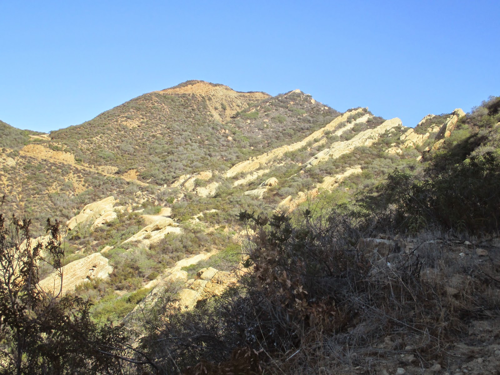
Long angled plates pushed up from the earth

Plates up close, good climbing gym

Use trail to the summit

Summit and ammo box holding the register

Benchmark

Looking south from Calabasas Peak

Old Nike missile platform?


No comments:
Post a Comment