Saturday, February 27, 2021

Peak 2829 Attempt

Hiked: 2/26/2021
Distance: 12.5 miles round trip on dirt road and cross country
Summit Elevation: 2829'
Prominence: 800' (estimated)
Elevation Gain: 2528'
Elevation Gain (in Empire State Buildings): 2.0
Round trip time: 5 hours
Recommended water: 96 oz.
Parking/Fees: $3 OC Parks on Black Star Canyon Road (maybe?)
Difficulty: Strenuous

Update 3/23/2025: After years of trying to reach this summit, I was able to clip my way there after many attempts. There was an offical benchmark stamped Baker.

Looking at forest service topo maps in the Black Star area, I noticed a mark for Peak 2829, and wanted to find out if there was an official government mark there or if it was just a triangulated virtual mark on the map. Satellite images showed an overgrown dirt road going half way up the peak before curving across the middle then back down. I thought I could take that road partially up the ridge, then bushwhack from there. Because the approach on Black Star Canyon Road is long, I decided to bike in to the base. It would also save me time on the way back.

The bike part went smoothly. I pedaled up the gently graded road about 1200' over 5 miles to the local ridge high point, then stashed a water bottle behind a sign for the return. I dropped about 200' toward the base of Peak 2829. I took a use trail away from the road into a grove of oaks where I could lock/hide the bike. After chaining it to a medium sized tree out of sight of the road, I put on long pants for the bushwhack horror to follow. The start of the overgrown road was relatively easy to follow at first. When the road curved south across the belly of the beast, I continued up the ridge as the brush grew more dense. A small rock outcrop on the first bump was a good perch to look down into the otherwise hidden side canyon where strange conglomerites grew. Here the brush turned into a snarl. I kicked, smashed, crawled, stumbled, cursed, bled, and hammered my way near the top of the false summit. The little hope I had that the upper ridge would offer some relief faded. It had taken almost an hour to move a quarter mile. I had 3/10 of a mile to go and only 95' of gain. The final approach on the ridge turned out to be a half mile thick hedgerow. I had not planned on the physical effort required and didn't have enough water to continue. The descent was just as brutal until I reached the bump. I got back and removed my long pants, sporting scratches on all exposed skin including my face. Studying the post mortem, I have to admire how impregnable this peak is. Surrounded by a thick moat of brush on 3 sides, and a cliff into Baker Canyon on the other. If I ever go back -- and I have no plans -- I'd explore the Baker Canyon approach or maybe the East Fork of Black Star Canyon. The bike ride back only took an hour and I estimate biking saved me two hours round trip. After this trip, the odds of an actual mark being up there are probably very low.

Starting up the overgrown road
Side canyon from a rock outcrop
Hellish brush past the bump
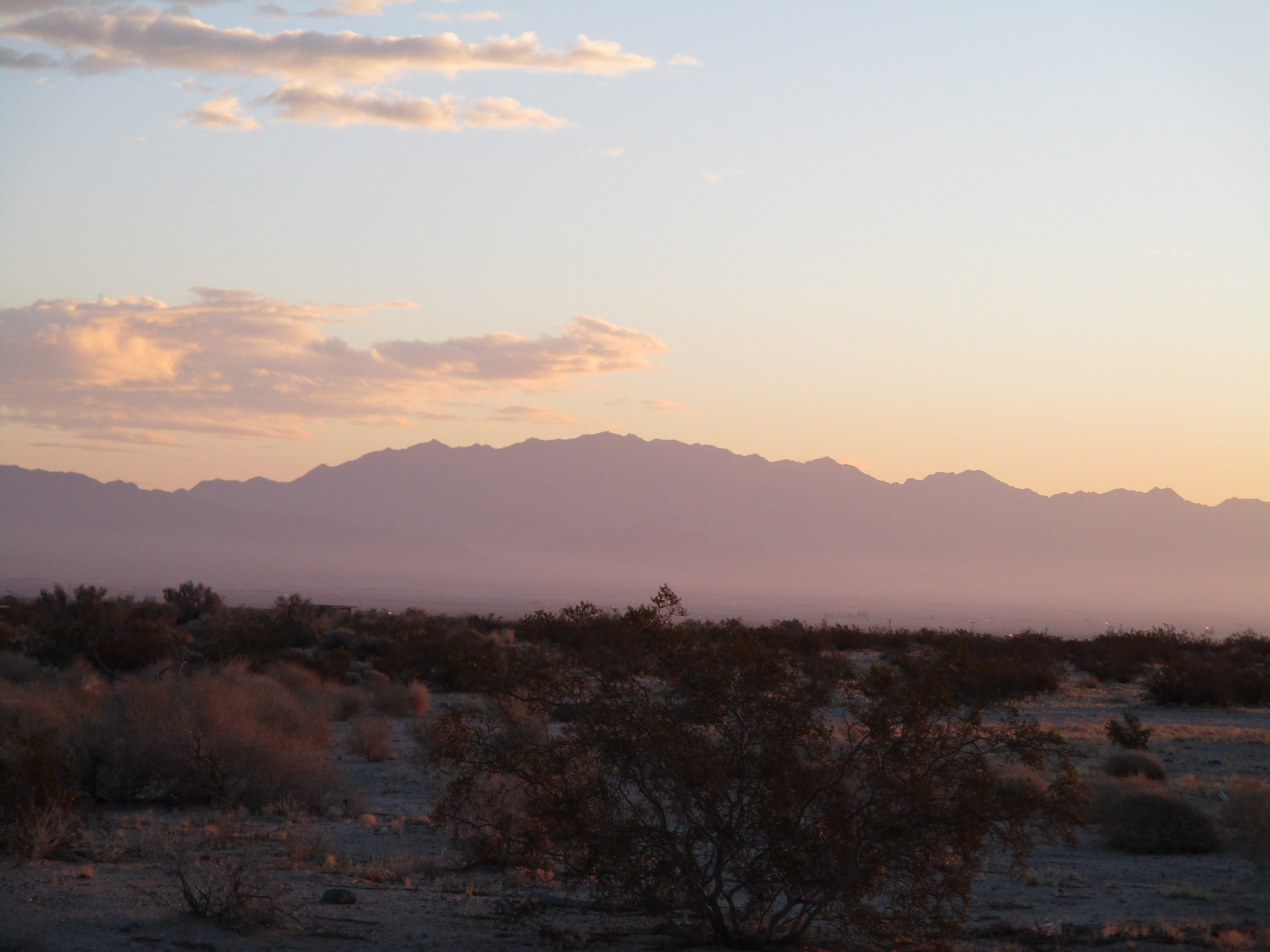
Looking back from Black Star Road


Saturday, February 13, 2021

Sheep Hole Mountains High Point

Hiked: 2/12/2021
Distance: 5.7 miles round trip cross country
Summit Elevation: 4613'
Prominence: 2218'
Elevation Gain: 2338'
Elevation Gain (in Empire State Buildings): 1.8
Round trip time: 7 hours
Recommended water: 112 oz.
Parking/Fees: Free on Amboy Road
Difficulty: Strenuous

Sheep Hole Mountains HP (DPS #71) is a rough and tumble off trail boulder scramble near Twenty Nine Palms. The high point has over 2000' of prominence. I expected a lot of steep terrain like I found on Fish BM in January. Sheep Hole averages about 10 visitors a year. I chose DPS route A, the gully route, and parked on the shoulder of Amboy Road near the start. There was a surprising amount of traffic on Amboy Road, and I decided that was a net positive for the safety of my vehicle. [note: the new cheap camera I got only shoots at 4:3 aspect ratio, not pleased about that]

The first half mile up the gully was mellow with small dry falls and easy bypasses. I passed some old mining equipment but didn't see the mine. Higher up, the angle of the gully increased toward 45 degrees and boulders and falls got much larger. I drifted left above the gully and found a disjointed class 3 route over car-sized rocks. I backed off one spot where the next move was a 4' step over a 40' drop. Atop the main gully, it eased up a little before more big dry falls appeared. I left the gully and side hilled just below the ridge, eventually going over a crest and crossing a small drainage. Although the forecast called for sunny skies, gray clouds had moved in and dropped sprinkles on me. The wind was steady, gusting up to 25 mph. It didn't feel like the clouds were threatening a downpour. A hard rain would have ended my bid for the summit. The next section was a very steep climb on loose dirt to a small plateau below the final approach. I spotted several cairns on the slope and followed them to the plateau.

Sheep Hole Mountains at dawn


Fresh sheep scat, didn't see any sheep

Tough going near the top of main gully


Nearing the summit

Stellar views started to open up behind me. However, I still had not seen the summit. The final half mile required navigation through bus-sized boulders. I moved in and out of the boulders on a path of least resistance. After starting up a long class 4 chute, I scrambled down when I spotted an easier way around. Route finding in the rough terrain was a constant challenge. I stumbled across more cairns leading around a pinnacle. I was moving very slowly at this point, losing steam, but the clouds had started to clear. Passing the pinnacle finally revealed the summit block. I dropped my pack and evaluated possible ascent lines. I'd read mixed things about the difficulty of the summit block. The obvious way up was via slab on the northwest side. It was class 3, but only the first 10' required pure friction. There were chunky holds the rest of the way. It was far more challenging to get to the summit area than climbing the block. The register was in an ammo box on top. I was glad to find the register lived there and not below the summit. The wind was howling, so I only stayed long enough to sign in and snap a few photos of register pages, holding them down to keep the wind from blowing them around. Without the wind, I would have spent more time on the summit. I started down a little north of where I came up, leading to more class 3 down climbing and crawling under giant boulders. At the small plateau, I got back on course to descend the same route I came up. On the side hill section, I found what looked like some airplane or drone wreckage. When I got back to the steep upper gully, I spotted cairns I missed before. This led to an easy class 2 chute to bypass the worst of the upper gully. I got back to the truck to find it was undisturbed, then started the 3 hour drive home.

Summit block


Going under boulders on the way down


Some kind of wreckage


Other Reports:
Sheep Hole Mountains HP (Matthew Hengst)
Sheep Hole Mountains HP (Peaks for Freaks)

Friday, February 5, 2021

The Desert Divide

Hiked: 7/20/2018 to 6/20/2020
Distance: 73.8 miles
Summit Elevation: 6240' (Butterfly) to 8720' (Red Tahquitz)
Total Gain: 21,305'
Total Gain (in Empire State Buildings): 17
Total Hike Time: 47.7 hours
Parking/Fees/Fares: Adventure Pass
Difficulty: Moderate to Strenuous

The Desert Divide is an unofficial group of peaks that run north-south on a long ridge extending from the San Jacinto Mountains and are accessible from the PCT. The divide ridge cuts the desert in two with high alpine forest. Peak elevations range from 6240'-8720'. This list is somewhat arbitrary since Red Tahquitz might be considered part of the Tahquitz family and the San Jacinto mountains proper. Grey Tahquitz could be added due it's proximty with Red, the same with Rock Point, a popular peak south of Butterfly (I bagged both peaks while doing the divide). I stuck with Hikin' Jim's original list of twelve as the northern and southern boundaries, but added Little Desert Peak for a total of thirteen. Little Desert is a small bump just off the PCT but is an official peakbagger peak and fit all other criteria. Most of the peaks are on the HPS list.

I broke the divide into six hikes, summiting two or more on most trips. Antsell Rock deserves special mention for the difficult approach and solid class 3 finish. Antsell is the shining star of the divide. Cone Peak has an impressive and exposed class 3 summit block. Pine has an easy class 3 block and a monsterous 60' class 5 boulder that is rarely attempted (I didn't). The Palm View Peak summit is surrounded by trees and ironically has no view, the worst summit on the divide. Due to distance, brush, and route finding, it is unlikely all thirteen could be done in a single day.

Distance and Time in the table is for the round trip. Note: a zero (0) for distance, gain, and time means that peak was part of a multi-peak day hike and the stats were combined for one peak in the trip.

Peak Summit Distance (mi) Gain Time (hrs) Report
Red Tahquitz 8720' 14.9 4704' 8.8 report
South Peak (aka Southwell) 7840' 0 0' 0 report
Antsell Rock 7679' 7.2 3156' 6.8 report
Apache Peak 7567' 0 0' 0 report
Spitler Peak 7440' 15.7 4520' 9.5 report
Palm View Peak 7160' 0 0' 0 report
Cone Peak 6820' 0 0' 0 report
Little Desert 6868' 0 0' 0 report
Pyramid Peak 7035' 0 0' 0 report
Pine Mountain 7054' 11.2 3087' 7.3 report
Lion Peak 6868' 0 0' 0 report
Butterfly Peak 6240' 9.2 2962' 8.5 report
Ken Point 6423' 15.6 2876' 6.8 report


Other Reports:
Hikin' Jim's Desert Divide

Tuesday, January 26, 2021

Coolidge Benchmark Loop

Hiked: 1/24/2021
Distance: 7.3 miles round trip cross country
Summit Elevation: 2242'
Prominence: 1042'
Elevation Gain: 2513'
Elevation Gain (in Empire State Buildings): 2.0
Round trip time: 5 hours 30 minutes
Recommended water: 90 oz.
Parking/Fees: Free on Coolidge Springs Road
Difficulty: Moderate

Rain was forecast for most of the coming week, including my regular Friday hike day. I hastily came up with a P1K desert mountain, Coolidge Benchmark, to squeeze in on Sunday. Coolidge was another obscure peak off highway 86 near the Salton Sea. Bob Burds trip report showed him going up a large gully close to Coolidge Springs Road. I reviewed the topo maps and planned a route up one of the eastern ridges. There are multiple ridge possibilites, but they are not all equal, some with big drops or potential cliffs. I also plotted to come down a different ridge further south to form a loop.

I parked on a service road near Coolidge Springs Road, well below sea level, and followed the road toward the ascent ridge. The ridge looked quite steep when I got to the base. Going up involved a lot of hand and foot climbing, but it never exceeded class 2. The ridge was broken into multiple sections with short flatter segements in between. After a steady climb, I reached the summit area then investigated three possible high points before finding the benchmark. A wooden pole was the first place I looked, but the benchmark and register were south of there. A small register and some loose pages were inside a glass jar inside a red can. The entry prior to mine was from 2016, a five year gap. The front row view of the Salton Sea was unique. Wind was gusting keeping it generally cold on the summit. After signing the register, I continued south off the summit toward a long southeastern ridge. Once I was sheltered from the wind, I stopped to eat my sandwich.


Toehold on the ridge


Salton Sea from the summit


Looking south toward Fish Creek Mountains

Summit is about 100' south of this pole

The descent ridge had some steep class 2 sections, but fewer than the way up. I passed a lot of bighorn sheep scat, but no sheep. After dropping the first thousand feet, I could see several abandoned mining roads below. I headed for the lowest road, crossing a major gully to continue down the ridge. I tried to drop down a wash near the bottom, but both the wash and the ridge ended in 60' cliffs. I could have returned to the gully crossing but instead climbed an embankment to reach a higher road. The road went over a hill, then came to an end, but the ridge down was low angle at this point. Finally at the bottom, I walked along Wonderstone Wash, tracking the base of Coolidge back to the truck. I was pleased my planned route worked out. Coolidge was a hearty bit of work.


Descending


Cruising back along Wonderstone Wash


Would you like to know more...?

Sunday, January 17, 2021

Nickel Canyon

Hiked: 1/16/2021
Distance: 14.6 miles round trip on trail and cross country
Summit Elevation: 1538' (at trailhead)
Elevation Gain: 3160'
Elevation Gain (in Empire State Buildings): 2.5
Round trip time: 7 hours 30 minutes
Recommended water: 142 oz.
Parking/Fees: Adventure Pass at Fisherman's Camp Trailhead
Difficulty: Strenuous (cross country)

Nickel Canyon feeds into San Mateo Canyon not far from the end of public access where San Mateo flows into Camp Pendleton. It is very remote and very seldom visited. I am not aware of anyone else who has been in the canyon. I started at Fisherman's Camp Trailhead and dropped into San Mateo Canyon, following the trail past Bluewater Canyon, my destination more times than I can count. In 2016, I got within half a mile of the entrance to Nickel Canyon. On this trip, I planned to get as far up the canyon as time and water would allow. From the trailhead, it was 6 miles on trail to get to Nickel Canyon. Parts of the San Mateo trail fade in and out around two of the crossings, but cairns are helpful in places. The water levels in San Mateo Creek were noticeably low.

Oak glade in San Mateo Canyon

Marker at stream crossing


Entrance to Nickel Canyon

The start of Nickel Canyon was rocky but easy to access. Oaks and scrub lined both sides, but the center was filled with rocks and boulders of all sizes. There was quite a bit of water in Nickel with many shallow pools. It was beautiful. I waded in knee deep water where it was easier than trying to avoid it. Compared with other wild canyons in the Santa Ana Mountains, it was fairly easy to navigate. The first major obstacle I hit was a small waterfall with a 5' deep pool. The best bypass was to scramble up next to a fallen tree on the left side. I continued upstream finding a wide leaf covered pool. Beyond that, the canyon dried up for about a quarter mile but remained rocky.


First waterfall

Looking back, I scrambled up next to the tree on the right (on the left when going upstream)


Small pools appeared again higher up and I ran into the second major obstacle at the two-tiered second waterfall. The pool below the fall was only 4' deep, but there was no easy bypass. A giant boulder on the left rose 10' above the water and required a 3' step to the stone face of the fall. Several small perches were in reach. I picked one and stepped across with my left foot and immediately slipped. Out of reflex, I grabbed onto the wall with my hands and found a tiny hold with my right foot. This prevented my pack from pulling me backward into an uncontrolled fall. Any kind of injury in this ultra remote canyon would have been trouble. I climbed the wall to get past the falls and sat down for lunch. I was about half way through the daylight and one mile up canyon, and decided it was a good place to turn around. Upstream, the canyon looked a little more rugged but still inviting and passable. I was more careful getting back onto the boulder. I took off my pack and threw it onto the boulder, tossed my trekking pole on the other side of the boulder, then made a clean step across. It was warm on the way back and I took another break at the mouth of Bluewater Canyon. Anyone that enjoys exploring local wild canyons like Harding or Black Star would enjoy Nickel. Because it's so remote, expect a full day.


Top tier of the second waterfall


The step across to get above the falls

Looking upstream where I turned back, much more to explore