Distance: 9.4 miles round trip on dirt road, trail, and cross country
Summit Elevation: 9552' (Mt. Harwood), 8587' (Thunder Mountain)
Prominence: 152' (Mt. Harwood), 387' (Thunder Mountain)
Elevation Gain: 4120' (combined)
Elevation Gain (in Empire State Buildings): 3.29
Round trip time: 5 hours 20 minutes
Recommended water: 128 oz.
Parking/Fees: Adventure Pass
Difficulty: Strenuous
This was intended to be a standard training hike for Mt. Whitney with a group going in July, but when the group didn't show up, I improvised. Instead of doing the Ski Hut Trail and Devil's Backbone loop, I decided to tackle Register Ridge, a lesser known use trail that heads straight up to Mt. Harwood. Parking was near the Manker Flat Campground. It was 49F at the trail head, but it warmed up as the day unfolded.
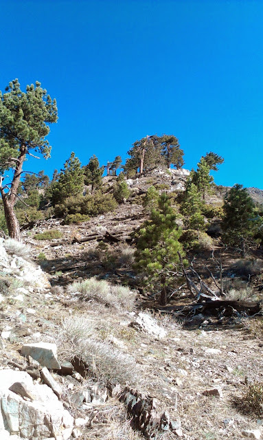
Harwood was my main target today, along with Register Ridge and the Devil's Backbone, which were all new experiences for me. The gain on Register Ridge is less than the Ski Hut trail because it doesn't go all the way to Mt. Baldy. However, it has fewer switchbacks and no level sections. It is up, then up, and more up. I saw the Ski Hut from the Ridge a few times and had perfect views of the Baldy Bowl. Once it intersected with the Devil's Backbone, I continued straight up the summit of Mt. Harwood across the rocky talus. There was no vegetation on top of Harwood, just rocks. There was zero snow anywhere on the trail. I saw one snow patch on the north side of Harwood, but it didn't look like it was going to last long.
Next, I proceeded down the Devil's Backbone trail toward the ski areas. I passed some idle lifts and had enough energy left that I decided to tag Thunder Mountain. When I got to Mt. Baldy Road, I continued up the road and followed it all the way to Thunder. The final climb to Thunder was over another rock field, but not as pleasant as Harwood. Then came my questionable call of the day: to head down Emile's black diamond ski run. It was covered in loose rocks and dirt, the decent angles were uncomfortable, and I ended up "skiing" down scree in many places, sometimes managing a 10 foot slide before taking the next step. I lost 1000' of elevation in about 1/2 a mile. It was slow and miserable, and when I got to the bottom, both boots were filled with pebbles.
The return on the road was uneventful, except for one shortcut below the one running ski lift. I waved at two sets of riders on their way up. They were probably watching to see if I had any mishap navigating the use trail below the lift, but I didn't. I saw no one on Register Ridge, and no one on Thunder Mountain either. I met a few hikers and dogs on the road on the way down.

Baldy, Harwood, and Dawson from Thunder Mountain summit. This appears to be the top of Emile's diamond ski run that I descended from Thunder.


