Distance: 6.8 miles round trip on trail and cross country
Summit Elevation: 9046'
Elevation Gain: 1890'
Elevation Gain (in Empire State Buildings): 1.4
Round trip time: 5 hours 30 minutes
Recommended water: 96 oz.
Parking/Fees: $35 National Parks Fee (one vehicle for 7 days) or Annual Pass
Difficulty: Moderate
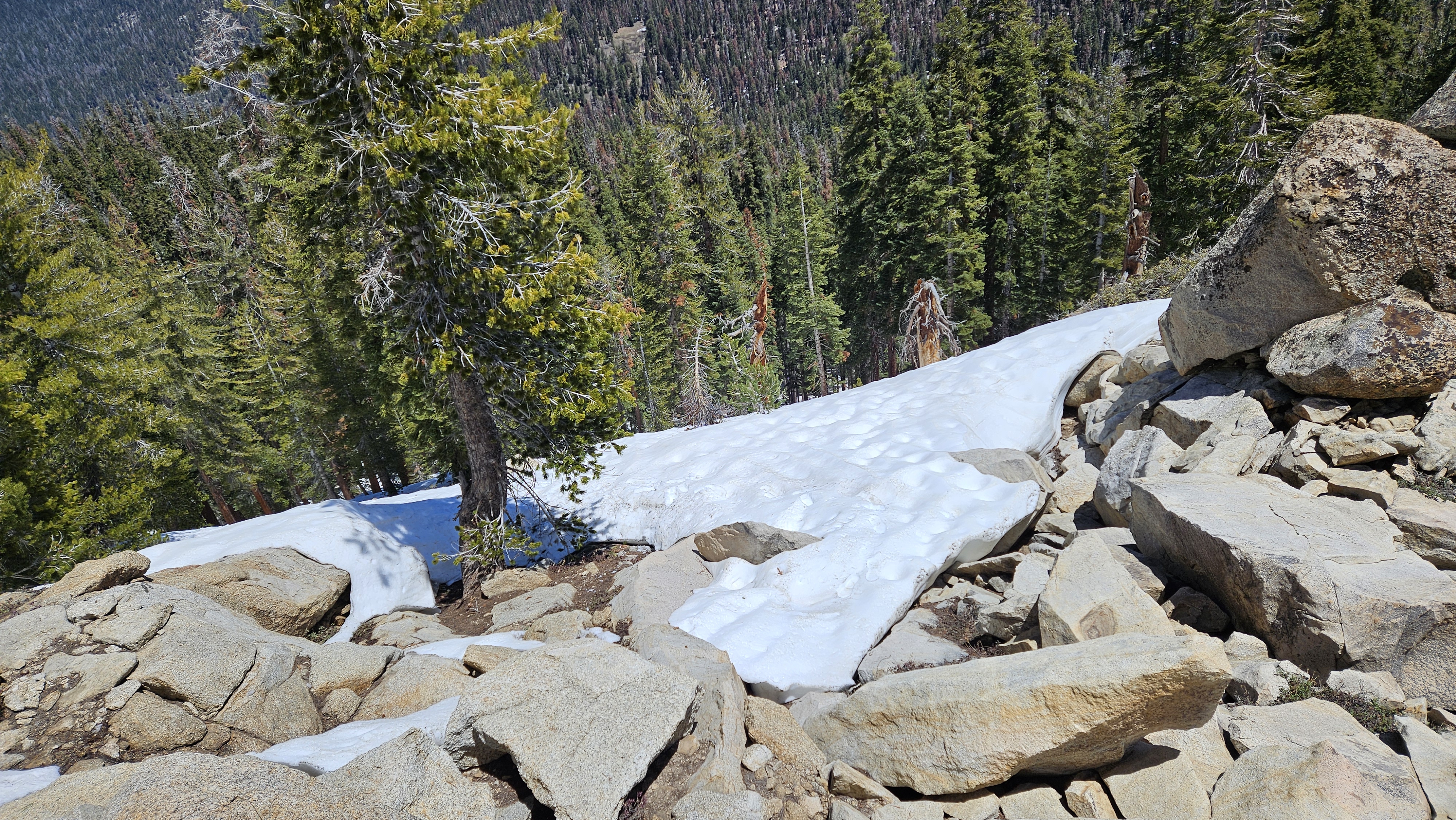
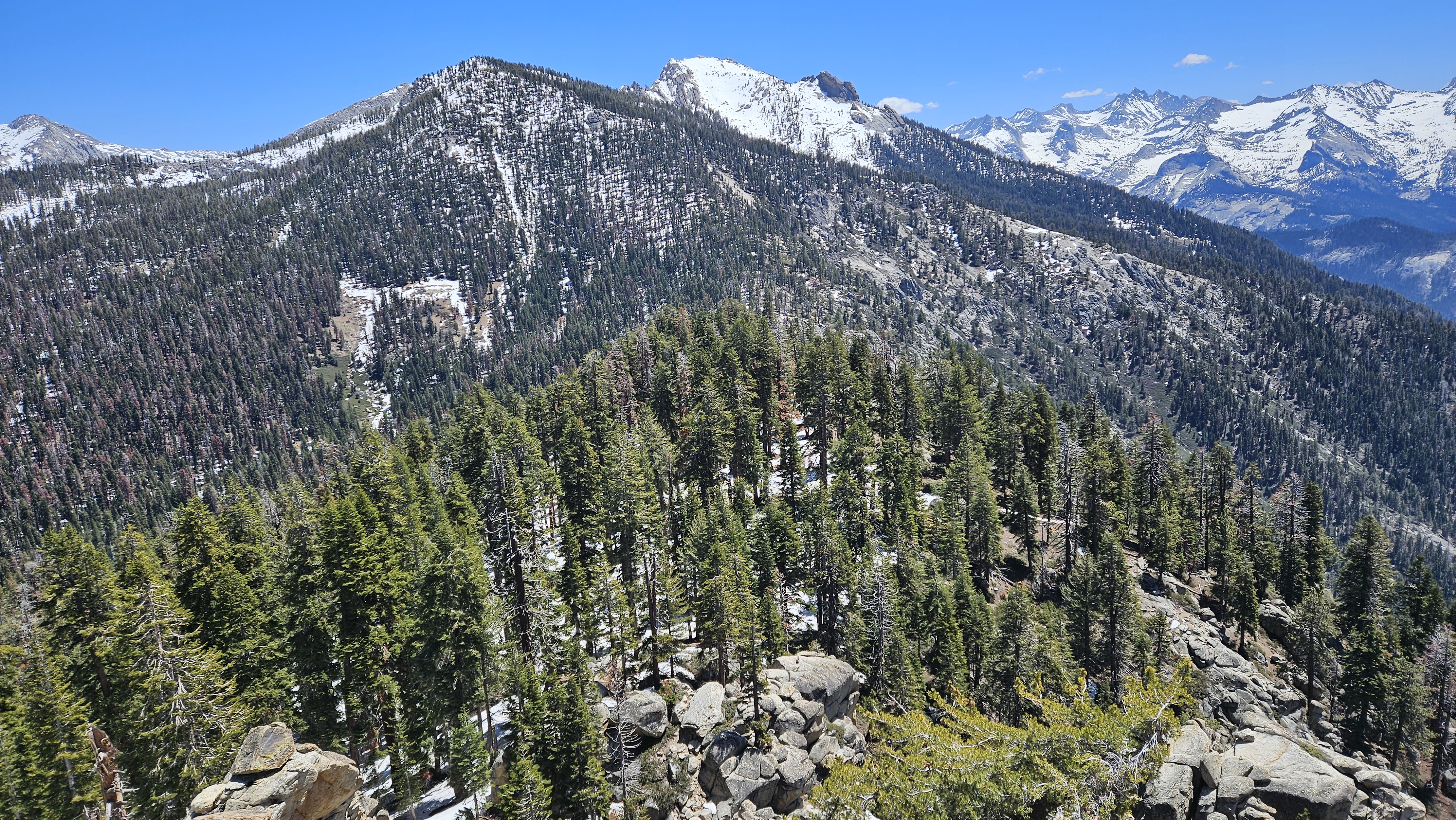
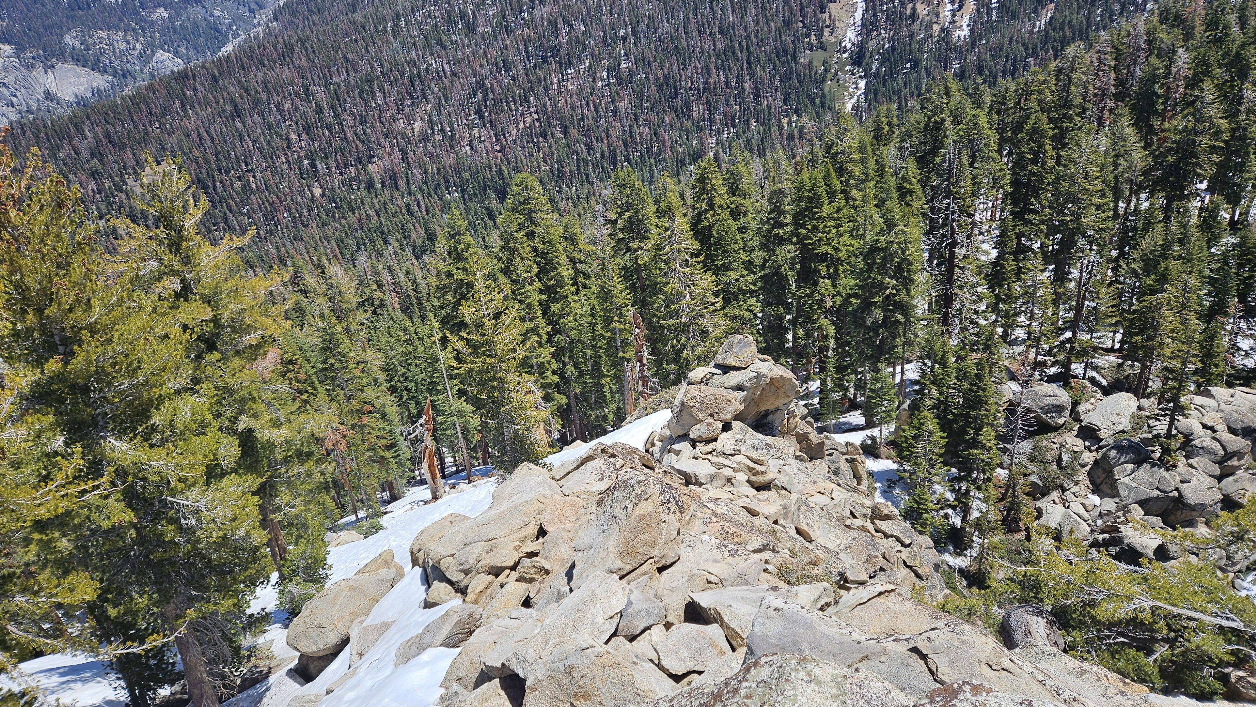
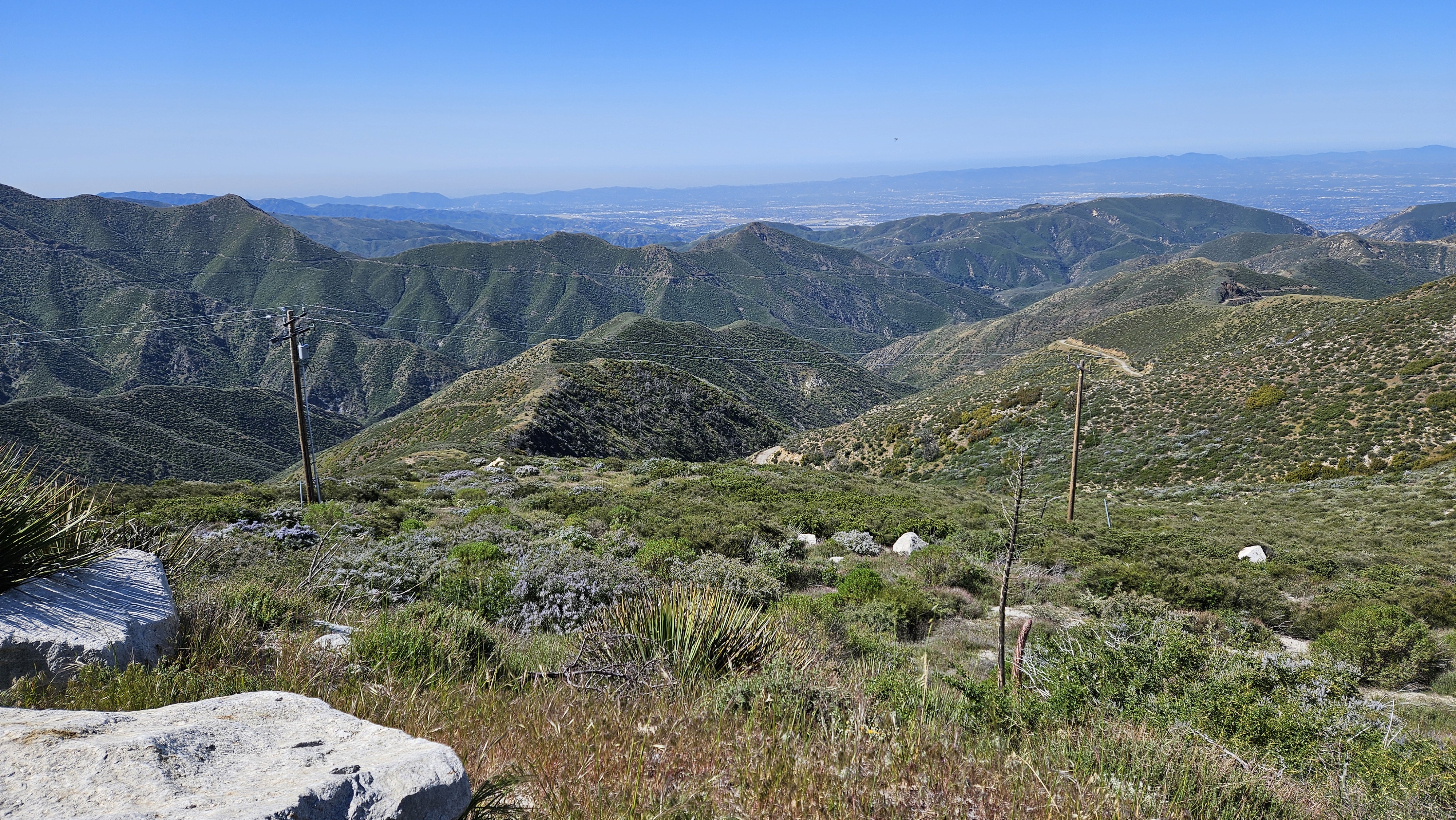
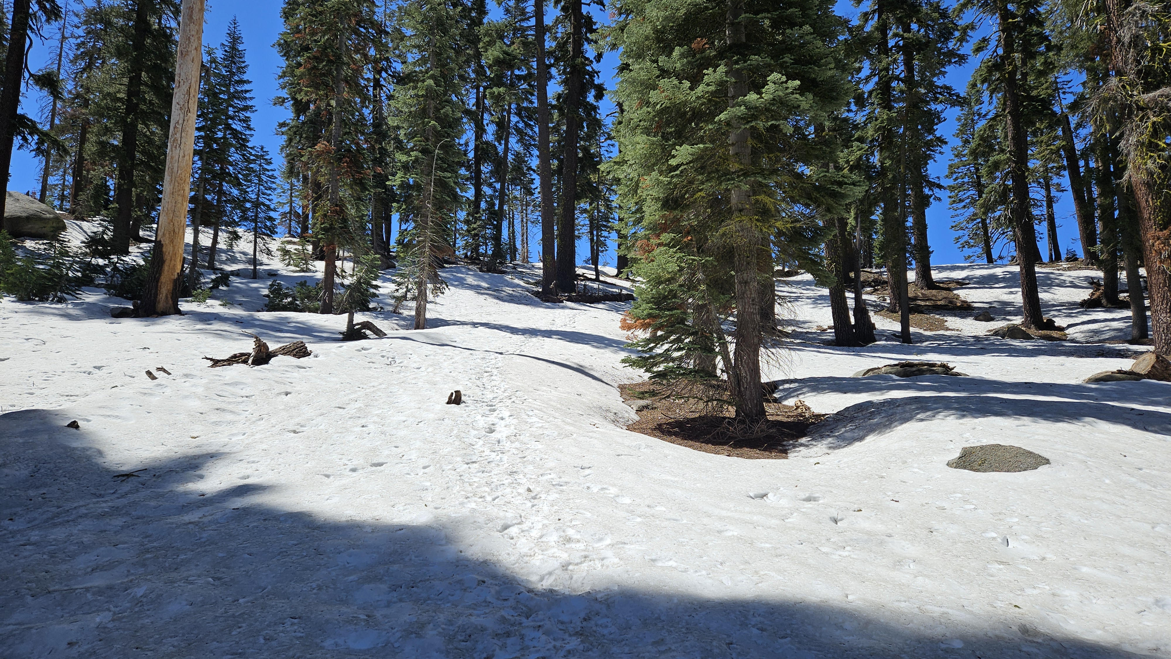
Our second day in Sequoia was reserved for Panther Peak. With serious snow clinging to higher elevations, we knew it was going to be a challenge. We eyed Panther a few years earlier when we climbed Alta Peak. I mapped a route using the Long Meadow trail to Panther Gap because it was new to us. We started around 8 AM, but the Long Meadow trail appeared closed and the first Wolverton Creek crossing looked daunting. We resorted to the familiar Lakes Trail, which was clear of snow to about 8300'. Snow encroached on then covered the trail from there. We donned our microspikes and followed boot tracks for a while until they wandered into a swampy area by one of the four stream crossings. GPS got us back on the trail and we met a couple of parties on their way down from camping at Panther Gap. Melting snow bridges covered the rest of the crossings. We tested the snow with our poles near each bridge to see how close we could get, then took a leap of faith to the other side, hoping to land on solid ground and not plunge into the flowing water beneath. This section of trail was shaded and the snow reasonably firm all the way to the Gap. Sun had melted the snow on part of the Alta trail, but we knew there was plenty ahead as we left the trail to climb the western ridge of Panther.
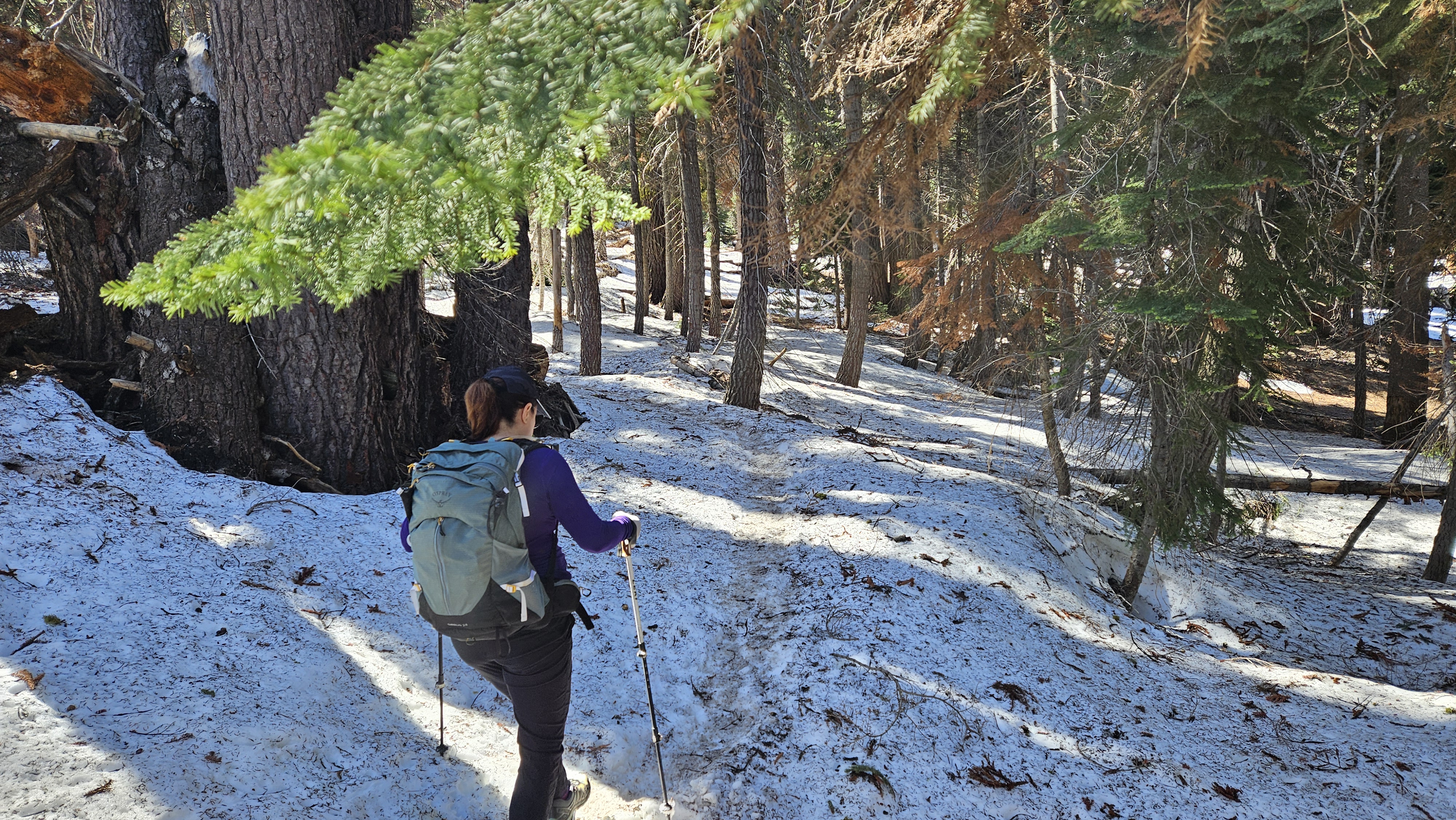

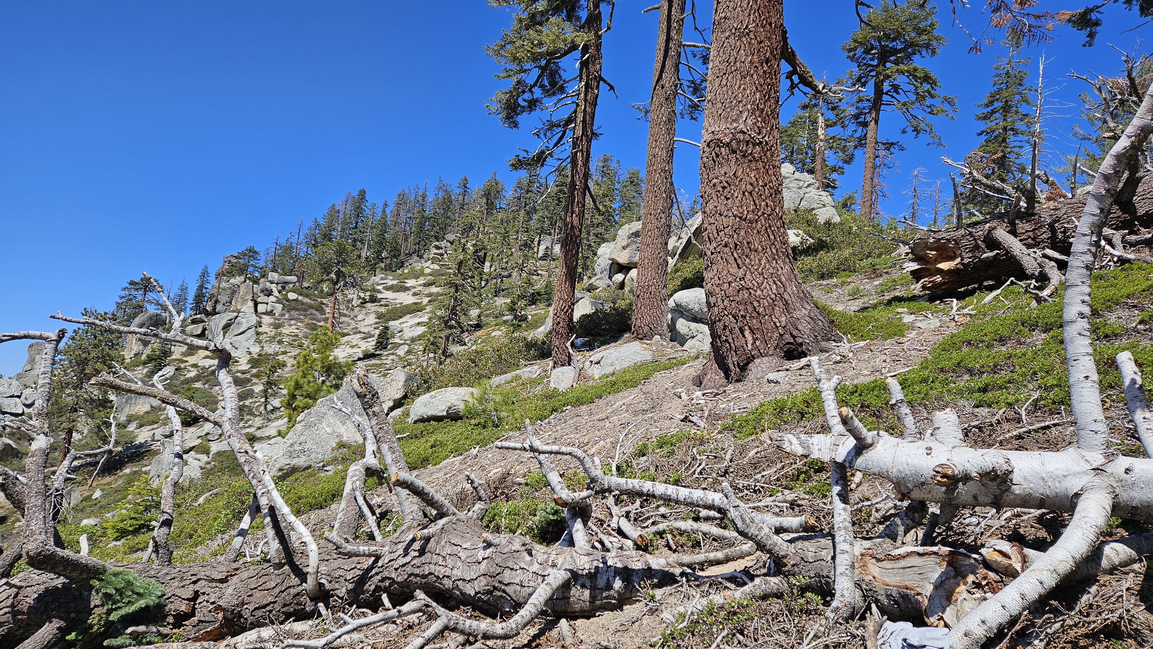
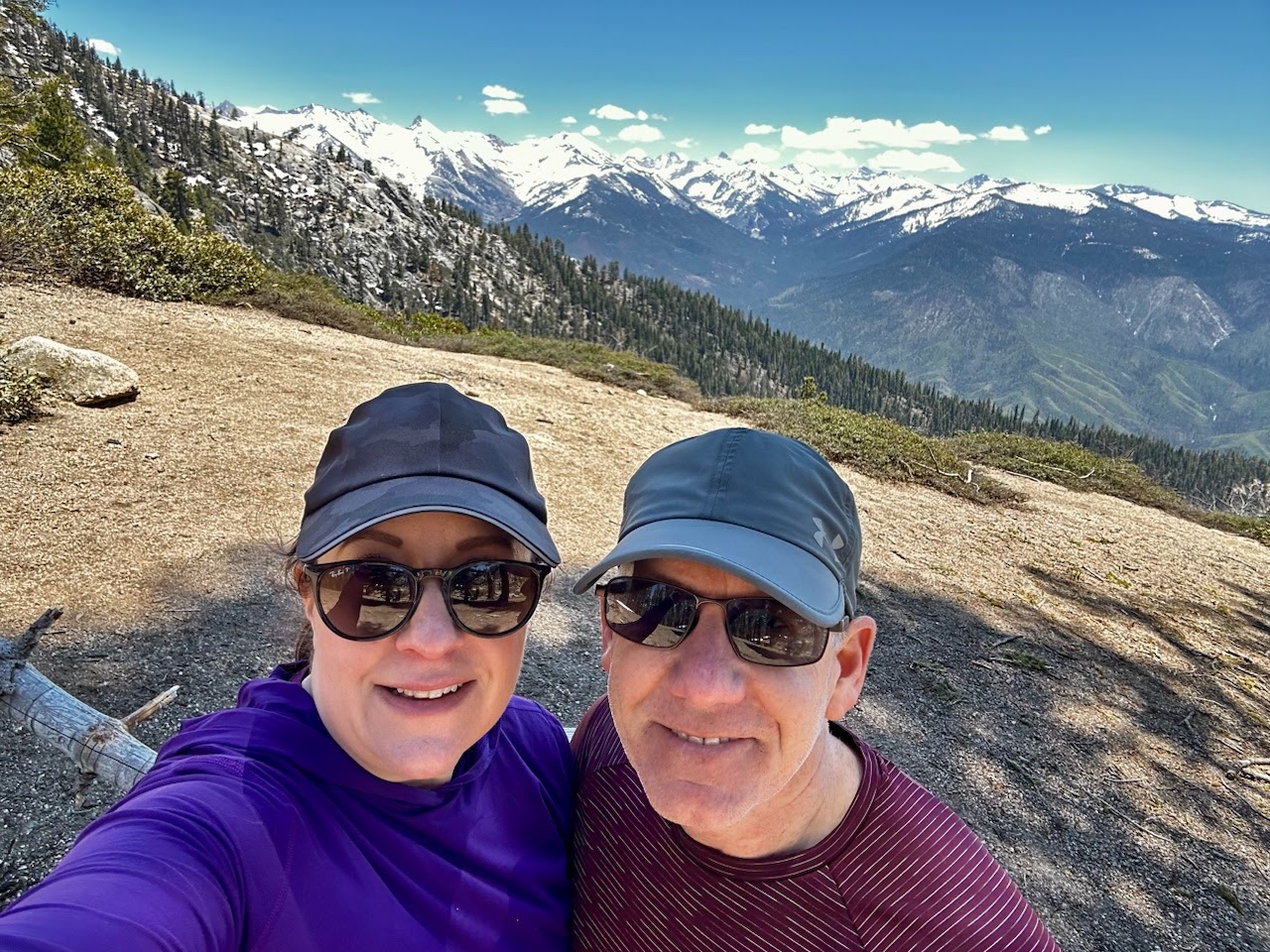
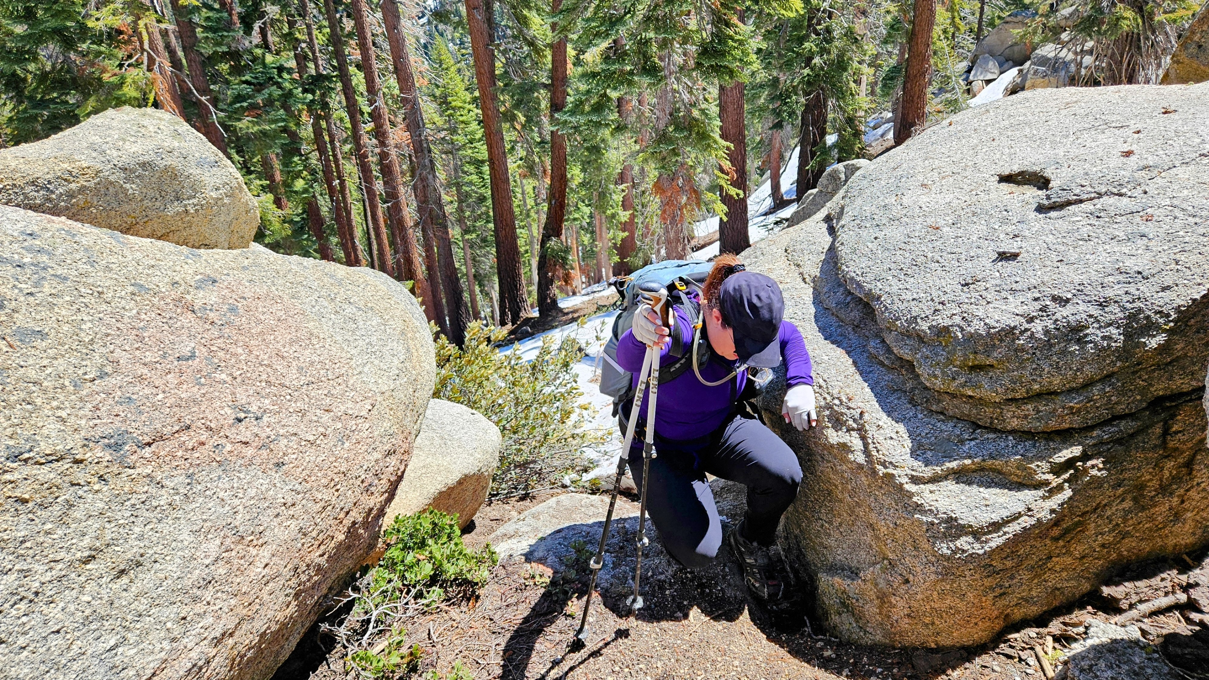
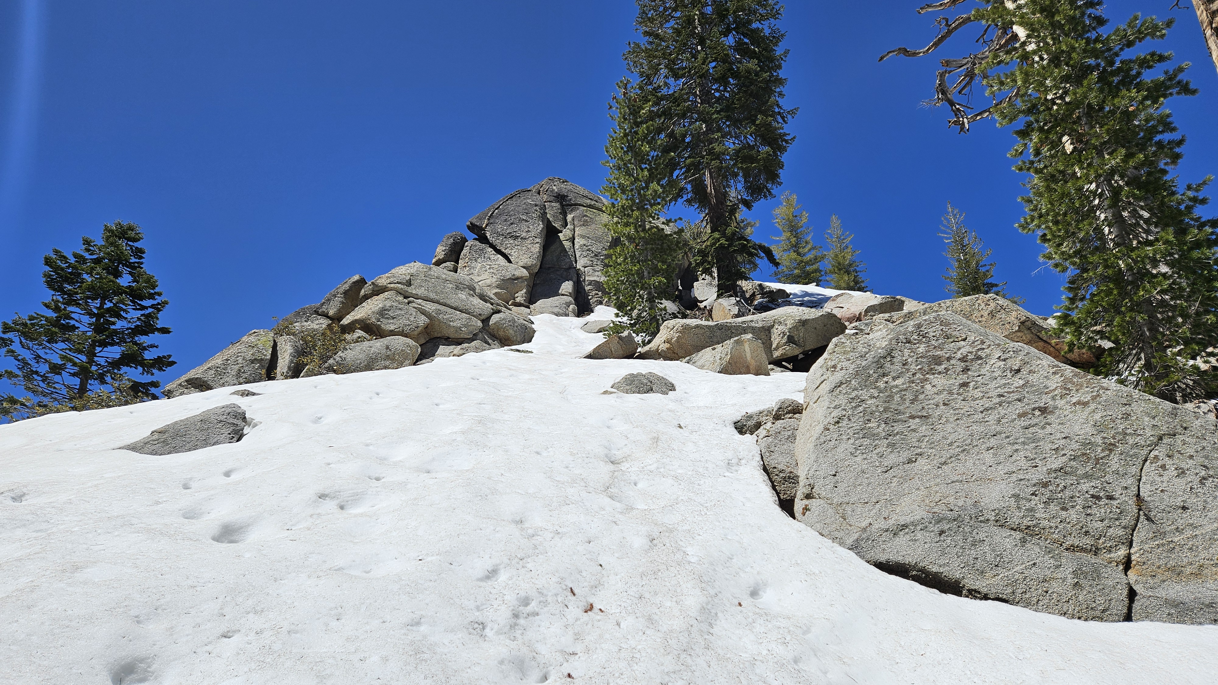
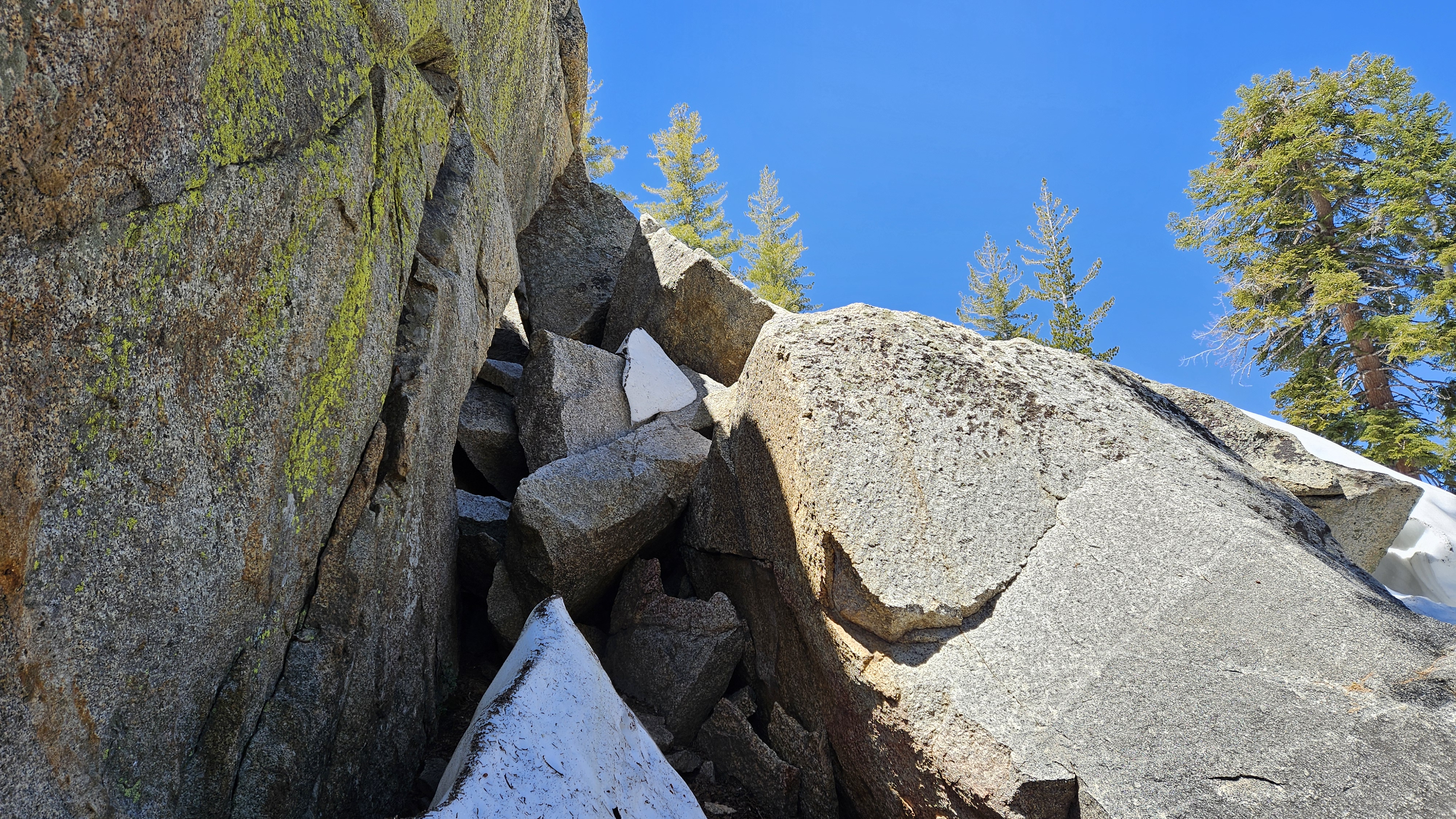
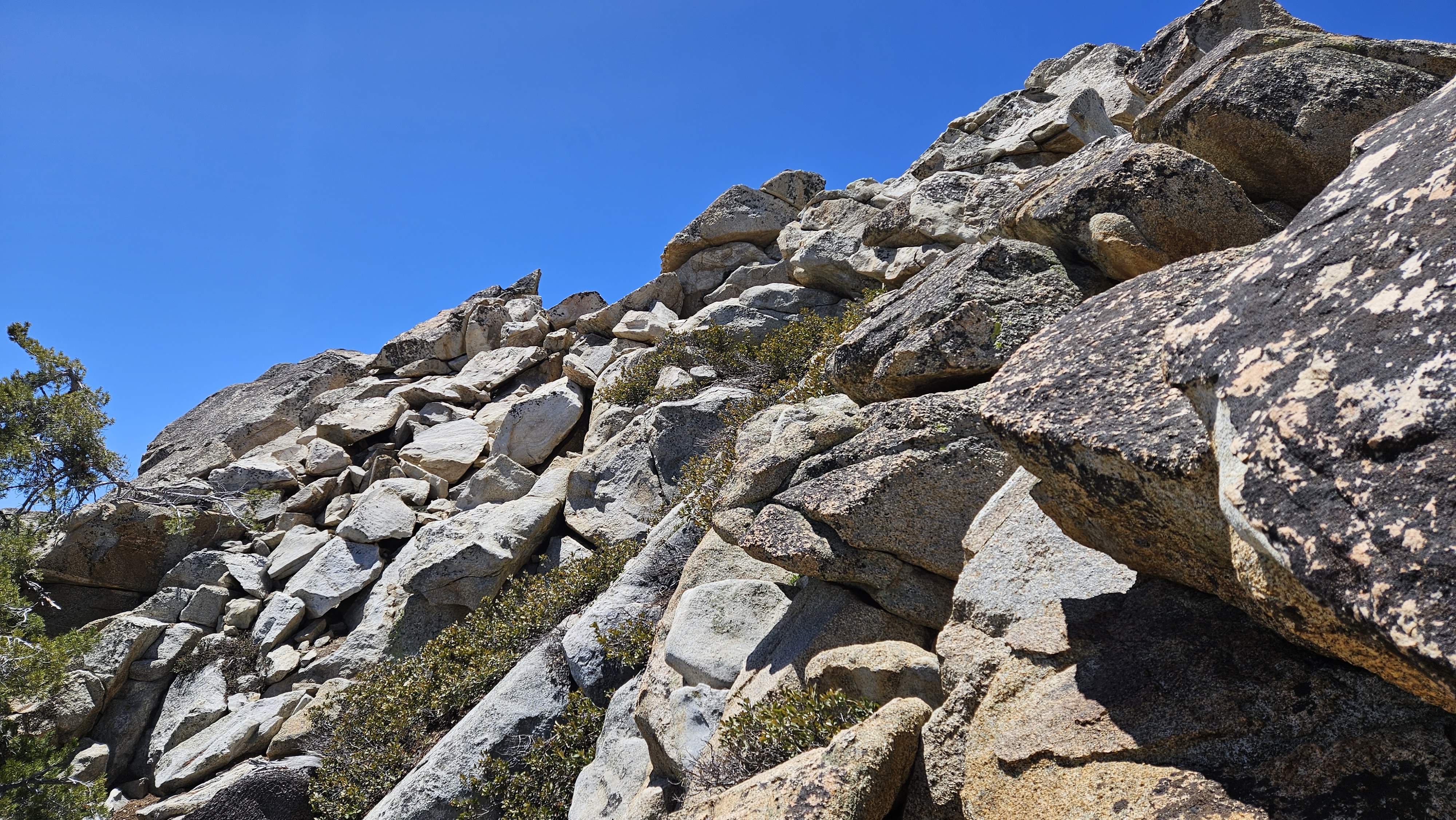
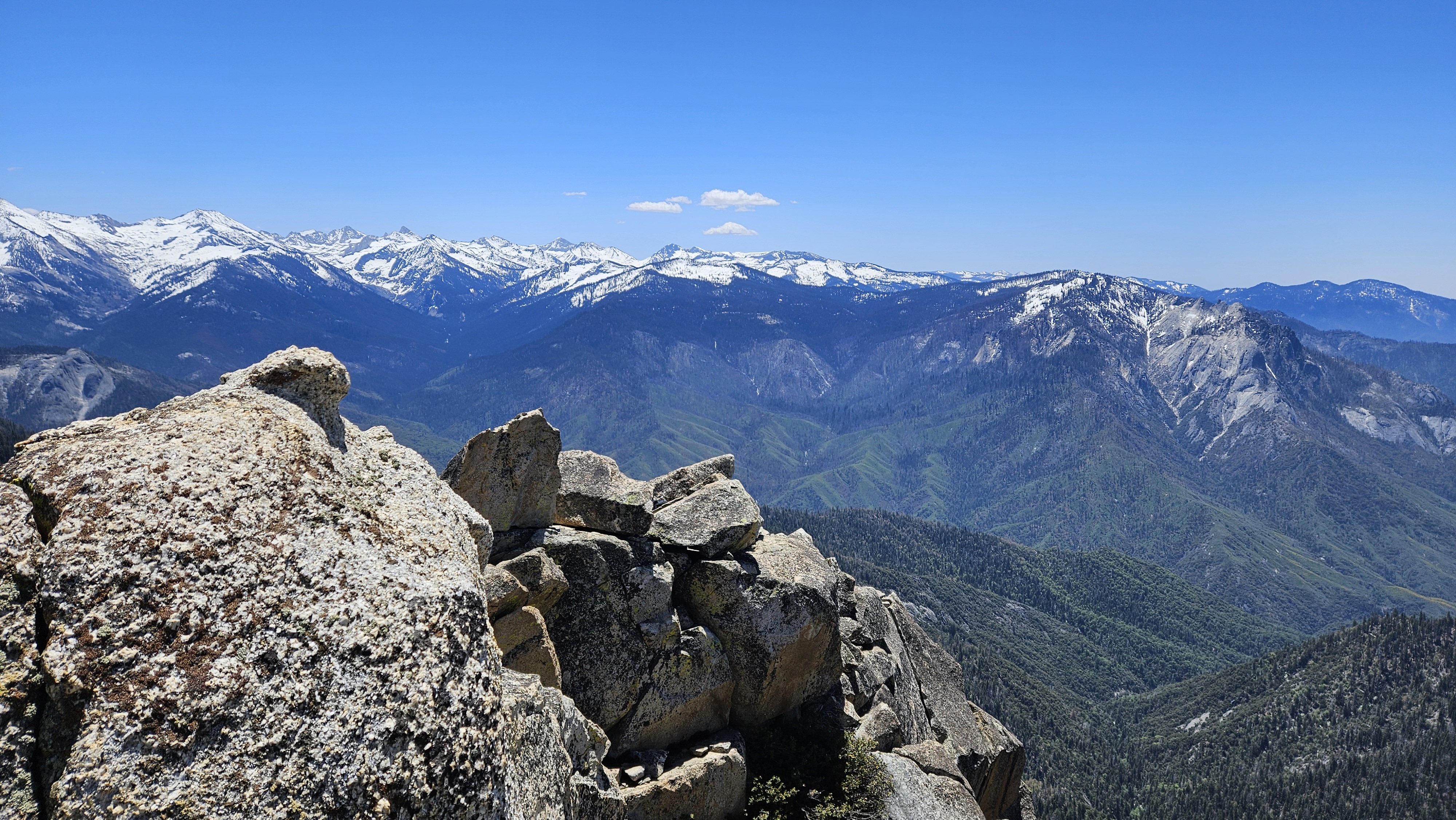
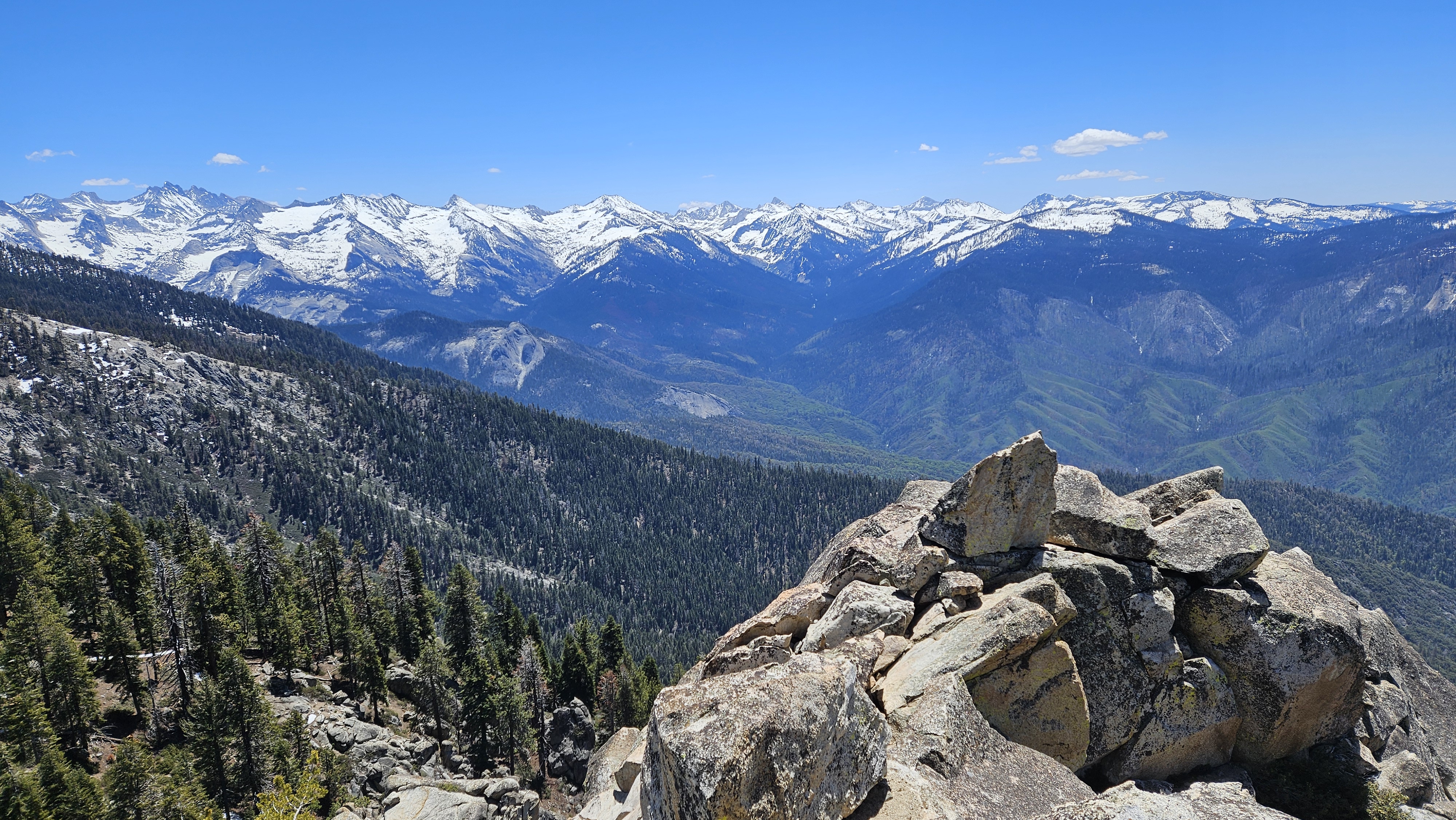
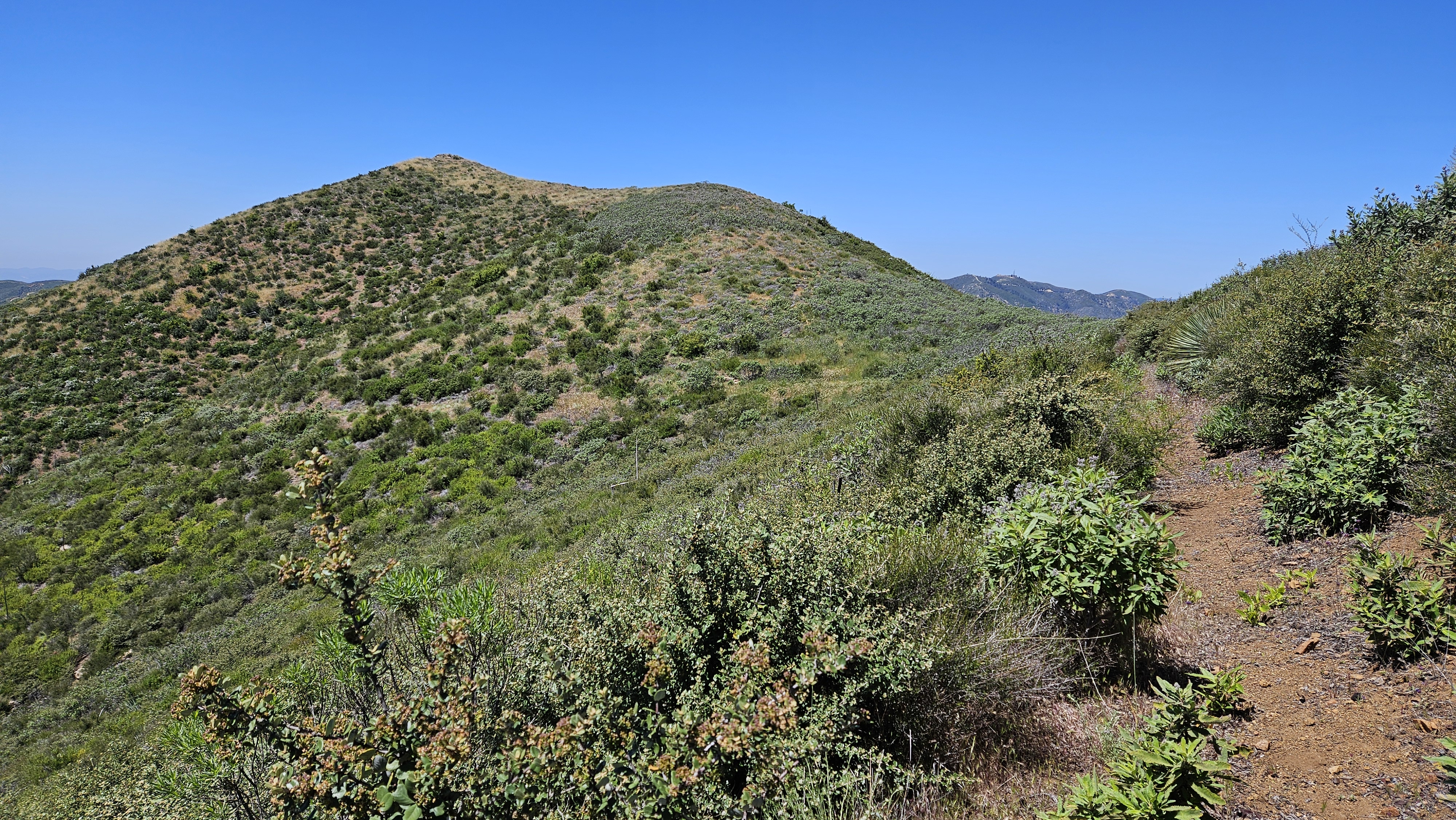
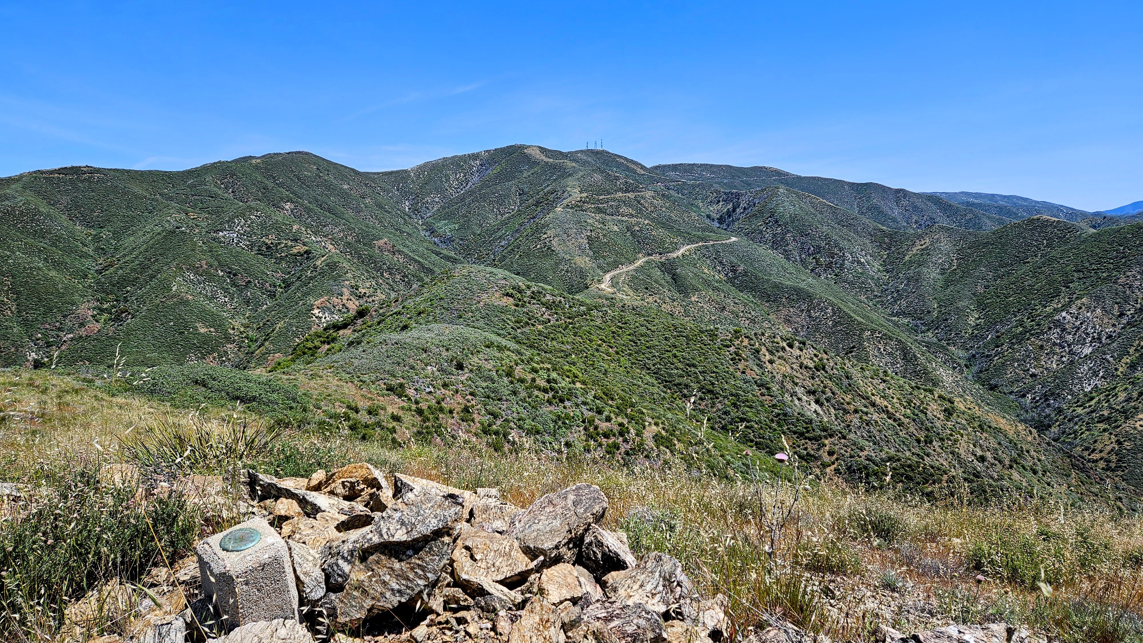
We found a use trail at the start of the ridge, but it quickly faded under patches of snow. The ridge was somewhat open with low vegetation, downfall, snow mounds, and boulders. We picked our way up going directly over a false summit. At 8800', snow surrounded the summit like a moat. It was roughly 3' deep with drifts up to 6'. The direct approach from the south was steep and with temps hovering around 50F, the top layers of snow were soft and we struggled to maintain traction. We traversed east of the summit looking for a slope less than 40 degrees. Because we were slipping so much, Leisa decided to hold her ground while I aimed for a column of high class 3 boulders. I dropped my pack and pole and got about 50' up the column before getting stopped by a vertical boulder and a snow bank. In dry conditions, I could have just walked around the boulder. I was high enough to see a flat area with a lone tree below the final 40' of boulders to the summit. The slope further east looked like it might reach the tree. I dropped back down, collected my gear, and told Leisa I wanted to make another attempt. I carefully side-hilled east, then used my pole and free hand to aid my ascent to the tree. Above the tree, I only had another 20' of snow before reaching the final boulder pile. The last scramble was class 2 and I left my spikes on out of laziness. On top, the summit view was exhilarating. I let out a triumphant yell. Leisa could not see me and she told me later that she didn't know if the whoop was success or me falling to my doom. I found no register or marks on the summit. The down climb was easier, though the snow slope was still sketch. Had Leisa wanted to go, I would have guided her up, but she was content this far up. Our return trip was mostly uneventful, though I did fall partially through one of the snow bridges, drenching my right foot. At the Pear Lakes junction, we removed our spikes and coasted the last 1.8 miles to the trailhead.