Hiked: 3/13/2020
Distance: 9.2 miles round trip on trail and cross country
Summit Elevation: 1877' (Rass), 3005' (Lookout Point)
Elevation Gain: 2650'
Elevation Gain (in Empire State Buildings): 2.1
Round trip time: 5 hours
Recommended water: 64 oz.
Parking/Fees: Free at Pena Spring Trailhead
Difficulty: Moderate
A few weeks ago, I placed a trailcam on a ridge above Pena Springs near Culp Valley Campground in Anza-Borrego. I set up a hike to Rass Benchmark and the unofficial Lookout Point (not to be confused with Lookout Knob), and also retrieve the camera. I didn't have high hopes for it and in fact, had the video resolution set too high so it filled up after a few days with only a skunk to show for it. Oh well. The route from Pena Springs to Rass is the long way, taking the the California Riding and Hiking Trail. It's only a steep one mile hike if you start at the Maidenhair Falls trailhead. A storm was in the area dropping light rain on the San Ysidro foothills. The mountain range often traps storms, preventing them from getting to the low desert in Borrego Springs. That was the case today where the low desert was dry. If you subtract my trailcam side trip, the round trip was closer to 8.6 miles.
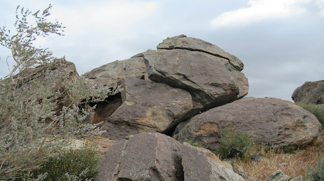
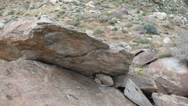
After picking up the camera, I took the trail toward Rass. It was in great shape, slicing through boulder fields with fantastic views most of the way. I had a waterproof windbreaker on to keep dry but my legs and feet were wet before I made it two miles. After a small gain, the rest of the way was a downhill cruise. I skipped Lookout Point on the way down since it didn't look compelling. Every step down was a step I would have to gain on the way back. The rain eventually stopped as I got away from the storm and when I got to Rass, it was warm and dry. Rass is an indistinct set of low boulders overlooking the desert. I found the benchmark, a reference mark, and two registers. I signed both and ate some food, getting mentally prepared for the upward return.
The way back was not bad, with mild angles and good trail allowing me to keep a decent pace. Knowing I might not be back on this trail again, I made the side trip to Lookout Point. I checked out some boulders on the east end, then walked to the Lookout Point where a mule deer and I mutually surprised each other. She bounded away before I get a photo. I climbed the class 2 boulders on Lookout Point finding neither a benchmark nor register. Views in most directions were not much different than what you could see from the trail, except looking west up Hellhole Canyon. That was a commanding view. As I worked my way back to the trail, three fighter jets roared up Hellhole Canyon and disappeared. Quite a display. Half way back, the rain started again, though it was sporadic. I stopped to climb some interesting boulders just off the trail before finishing up. I don't mind hiking in light rain once in a while.


No comments:
Post a Comment