Sunday, November 10, 2024

Mount Hillyer and Mount Hillyer Northeast

Hiked: 11/8/2024
Distance: 2.4 miles round trip on trail
Summit Elevation: 6199' (Hillyer), 6162' (Hillyer NE)
Elevation Gain: 347'
Elevation Gain (in Empire State Buildings): 0.3
Round trip time: 1 hour
Recommended water: 16 oz.
Parking/Fees: Free at Rosenita Saddle trailhead
Difficulty: Easy

The Rosenita Saddle trailhead is a couple of miles north of ACH past Horse Flats Campground. It's paved all the way and there was room for about 7 cars at the turnout. I was the only one there when I arrived. The trail was wide and sandy. At the first junction, I turned left for the short walk to Hillyer NE. This peaklet was about 30' lower than the high point and featured a fun class 2 boulder. I returned to the main trail and reached Mount Hillyer (HPS #172) 15 minutes later. The largest rock formation appeared to be the high point, only slightly higher than a rock pile under a deciduous tree according to my GPS. It was a pleasant, open area, but barely met the definition of a peak with 323' of prominence. On the drive out, I looped through Horse Flats since I'd never been there, then drove toward Mount Sally.


Summit block of Hillyer NE. Class 2 route on the other side.


Summit of Mount Hillyer

Pacifico Mountain from Hillyer


Saturday, November 9, 2024

Winston Ridge and Peak 6903

Hiked: 11/8/2024
Distance: 4.7 miles round trip on trail
Summit Elevation: 7008' (Winston Ridge)
Elevation Gain: 1150'
Elevation Gain (in Empire State Buildings): 0.9
Round trip time: 2 hours 15 minutes
Recommended water: 32 oz.
Parking/Fees: Free at Cloudburst Summit turnout on ACH
Difficulty: Easy

Another day hitting easy HPS peaks along the ACH. First up was Winston Ridge (HPS #117). I had climbed Winston Peak years ago so I didn't go over it. Instead, I took the dirt road that runs south of Winston Peak toward Cooper Canyon trail camp. The road is above the PCT and parallels it for about a mile where they intersect. Then, I took the PCT north to the saddle between Winston Peak and Peak 6903. There was a defined use trail to Winston Peak and a faint one to P6903. I went directly up the ridge to 6903, which had a small group of boulders on the summit, no register, no marks. I continued over 6903 to another saddle where a nice trail led the rest of the way to the Winston Ridge summit. This was fine country with sparse, tall pines and a lot of open space. The summit was Winston Ridge was within a small circle of stones. A green can held the register, but there were no marks. I could not sign in because there were no pencils or pens in the can. I usually carry a pencil, but could not find it. I was able to donate a Ziploc baggy for the register. I continued to the end of the ridge for the views west. On the way back, I followed a use trail around the east side of P6903. I came up behind a deer hunter there and yelled out from 100' to not startle him. He had no luck finding deer, though there were plenty of tracks around. He was also worried that I was out in the wilderness without a firearm and that animals might get me. I assured him I had met the animals of the forest and we were at peace. I was more concerned that my khaki pants and light gray puffy made me look like a deer. I followed the PCT/road back and drove to my next goal: Mt. Hillyer.


Junction with the PCT


Peak 6903 summit

Looking over at Winston Ridge

Random triangle marker on the P6903 ridge


Winston Ridge summit


Looking west from the end of Winston Ridge


Tuesday, November 5, 2024

Monrovia Peak and Rankin Peak

Hiked: 11/4/2024
Distance: 4.6 miles round trip on dirt road and firebreaks
Summit Elevation: 5412' (Monrovia), 5291' (Rankin)
Prominence: 1503' (Monrovia)
Elevation Gain: 1558'
Elevation Gain (in Empire State Buildings): 1.2
Round trip time: 2 hours 30 minutes
Recommended water: 32 oz.
Parking/Fees: Rincon Shortcut permit (free), Adventure Pass or National Parks Pass
Difficulty: Easy

Monrovia Peak (HPS #243) and Rankin Peak are front range peaks in the Angeles National Forest. They are often climbed in a long day that includes Clamshell Peak. I had done Clamshell years ago. I stopped at the Glendora Ranger Station (a refurbished house) and picked up a permit to drive the Rincon shortcut road. Along the permit, the ranger provided the combination to the lock on the gate where it starts off Highway 39. When I got to the gate, it had been left unlocked. I drove through and locked it behind me. Based on my conversation with the ranger, most people that come up here are hunters. I didn't see any other vehicles on my way up. The road was like butter, smooth and free of deep ruts and rocks. Any sedan could drive this road. The ranger warned me about down trees in some places and that I would not be able to drive all the way to the ACH. I decided to park at a wide turnout about a mile from Monrovia Peak for an easy turn around, but I could have driven right up to the Monrovia firebreak. The firebreak was steeper than it looked, but had a worn use trail. The summit had a benchmark and a couple of registers. The older one was water damaged. Monrovia had fine views of both the front and back range. I could even make out downtown LA and part of Catalina.


Pine Mountain #3, climbed years ago

Baby gopher snake, probably run over

Firebreak to Monrovia


Downtown LA

Mount Wilson


Rankin peak was less than a half mile away with a large bump in between. I wondered how Rankin could have enough prominence to be a separate mountain (it doesn't). The answer is because the bump held a plaque dedicated to a Rev. Edward Payson Rankin in 1950 by the Yucca Hiking Club. It had no benchmark, register or other distinguishing feature. I reversed course, doing a down/up/down/up/down to get back to the road. On the drive out, I passed three other trucks on their way in. I considered looking for something else to get while I was out, but nothing close looked worthwhile.


Rankin is the lower bump

Looking back at Monrovia


Waterman, Twin Peaks, Triplets


Saturday, November 2, 2024

Little San Gorgonio attempt

Hiked: 11/1/2024
Distance: 4.3 miles round trip on trail and cross country
Summit Elevation: 9133'
Elevation Gain: 2541'
Elevation Gain (in Empire State Buildings): 2
Round trip time: 4 hours 30 minutes
Recommended water: 48 oz.
Parking/Fees: Adventure Pass or National Parks Pass
Difficulty: Strenuous

I drove to the Vivian Creek Trailhead in the San Bernardino Mountains for a shot at Little San Gorgonio (HPS #28). It is the high point on the Yucaipa Ridge. The route from Vivian Creek goes up a wide drainage on the north side of the ridge. Not far up the drainage, it starts up a very steep ridge, makes a jog up to a saddle, then up a final slope. The gain is more than 1000'/mile. Short and stout. With temps hovering around 40F, I was in no hurry to beat sunrise. I had a lazy start around 8:30 AM. There was still plenty of parking at the trailhead. I walked less than a half mile up the trail before leaving on the right in a pine needle covered gully. This intersected the major wash with gray rocks. I continued upstream a while, then spotted a cairn exiting the wash. I followed that onto a faint use trail. The use trail hit another steep gully with a fallen tree near the top. I worked my way around the tree, but the angle was about 50 degrees and the ground was loose. It was somewhat dangerous going up that way. I found a better way coming down.

From there, I was firmly on the ridge. The use trail skirted the edge of the major wash. Cairns marked the route pretty well. At 7500', I was completely surprised by a layer of snow that got steadily wider and deeper the further up I went. I often swerved into light brush for extra traction and hand holds. I did not bring crampons or microspikes or snow boots, so I was uncomfortable on thin snow at sharp angles. My toes went numb, but I was high enough to see a break in the ridge only a quarter mile higher. I decided to continue. It was slow and sketchy, but I reached a turn in the ridge and got a great view of Little San G. I was less than a mile away and 800' below the summit. I thought maybe I could follow the south side of the ridge and avoid the snow, but I had a good view of the rest of the ridge. There was a lot of steep terrain ahead and the snow looked worse for the final push. I decided it was too risky to go higher. It was a wonderful route, but I should have done it in September. There's always next year.

Note: I used little water because it was cold. In the summer, I would need at least double the amount I used on this hike.


First signs of snow


Little San Gorgonio from the turn, too much snow without gear


Safety in the creek below


Sunday, October 20, 2024

Indianhead via East Ridge

Hiked: 10/17/2024
Distance: 7.6 miles round trip on trail and cross country
Summit Elevation: 3960' (Indianhead), 2925' (Borrego Point)
Elevation Gain: 4285'
Elevation Gain (in Empire State Buildings): 3.4
Round trip time: 11 hours
Recommended water: 164 oz.
Parking/Fees: $10 State Parks Day Use Fee
Difficulty: Strenuous

My original plan was to climb Spanish Needle in the southern Sierra. But, there was a hazardous wind warning with 35mph gusts. Not ideal for the serious scrambling involved. Instead, Henry Chen and I decided to try a new route on the east ridge of Indianhead (DPS #83, SDC #50) in Anza-Borrego. I had climbed Indianhead twice: the standard DPS route B up Palm Canyon, and also the north ridge (the easiest route), but this would be Henry's first time on the mountain. We started shortly after sunrise around 7:00 AM. I suggested we start on a slope that looked like a better approach to the first bump on the east ridge than the ridge proper. Henry agreed. The first mile was steep, 1700' of up, but presented no serious obstacles. The ridge mellowed as it rose slowly to the unofficial Borrego Point, marked with a small cairn. Then, we faced the first of three challenging bumps.


Borrego Point


We went up the gully on the right

As we got near the first bump, the slope was at a 50-60 degree angle. Even before we got there, I was planning for a bypass on the north side. When we hit the first class 4 slab, I spotted a gully a couple hundred feet north that looked class 3. Before heading there, I scrambled up a wedge closer to the edge. There were two kinds of rock: whiteish chossy rock and varnished granite that felt solid. The wedge was whiteish rock and crumbly. I decided to downclimb about 100' to reach the gully. Henry climbed one of the red boulders to explore above. The gully was easier and less exposed than the ridge and I made good time. Henry didn't like the continuation, so he dropped down and came up behind me. We made steady progress and reached the second major bump. We got very near the top of the second bump when we hit the next class 4 section. There were two options and both hung over a 300' cliff. This was a harder decision. We were so close to the top, and the downclimb to get around this one was about 400' down. Way, way down. After careful consideration, I decided it was too risky and started the longest downclimb of the day. Periodically, I checked the edge of the gully to see if I could reach it, then kept going lower. Finally, we reached the safer gully. It wasn't clear that we could make it back to the ridge from there. I informed Henry that if we turned back again, I'd have to bail due to lack of water. Fortunately, we made it to the ridge and proceeded to the last major bump. I didn't seriously probe the rocks on top, but looked for downclimb number three on the north side. I dropped through a little portal, down a slab going away from the summit, then skirted the side of the bump to attain the ridge about 200' below the top. Looking back, it might have been possible to go over the last bump without undo risk.

Steep terrain


Looking down on the bypass gully


Another nope


Summit ahoy

Through the portal

Looking back at the final obstacle on the east ridge

With GPS, I confirmed the bump in front of us was indeed the summit. The south summit started to look familiar and I breathed a deep sigh of relief. The tough terrain had cost us about two hours, but now I was on familiar ground. We signed in and took a well earned respite. We started down the NW ridge, the standard DPS route B. About half way down, I decided the gully looked closer than sticking to the standard route on the ridge. As I started down, I found it too loose, a poor decision. Before I got too far, I decided to angle back up to the ridge. Henry was well behind me but knew what my intent was. It was bad luck that he didn't see me going back up. When I got down to the canyon, I could not see him anywhere. I waited a few minutes then starting yelling for him. I heard him answer and spotted him coming down a nasty dry waterfall in the gully. He had followed my bad decision without seeing my correction. He said there was more class 4 in the gully, a hard way to get off the mountain. We followed a use trail for over a mile to reach the main oasis where the state park trail took over. It was another relief to hit the official trail for an easy finish. The east ridge was fun and challenging, but a one and done for me. It was by far the most difficult of the three routes I've done. I felt remarkably good after a grueling day, but expected to be sore over the next 48 hours.

Indian head penny stamps on the cover

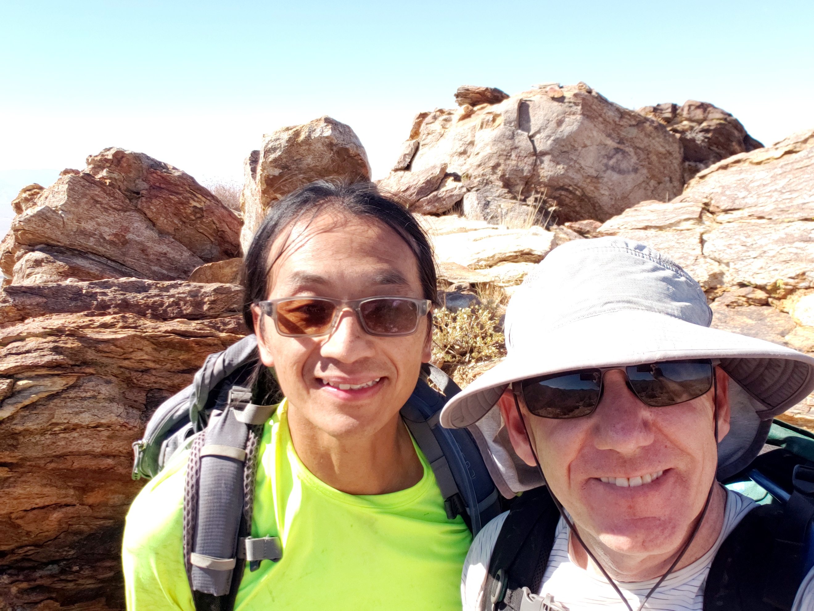
Two on top

South summit


Henry almost down


Would you like to know more...?

See Also:
Indianhead via DPS Route B
Indianhead via North Ridge