Monday, February 26, 2024

Oat Mountain and Point 3473

Hiked: 2/25/2024
Distance: 11.2 miles round trip on paved road
Summit Elevation: 3747'
Prominence: 1987'
Elevation Gain: 2800'
Elevation Gain (in Empire State Buildings): 2.2
Round trip time: 4 hours 20 minutes
Recommended water: 54 oz.
Parking/Fees: $5 Parking Fee for Mountains Recreation and Conservancy Authority
Difficulty: Moderate

Nate Underkuffler and the San Gabriel ice pirates had planned an off trail scramble from Santa Clarita Woodlands Park to Oat Mountain (nearly a P2K). It was Nate's birthday hike. I had targeted this hike as a test of my ankle and thought I would be ready seven weeks after the break. But the day before, I was still recovering from physical therapy and decided to take the road route to Oat instead. I emailed the ice pirates about my plan. I wanted to summit Oat, then continue over it and meet them at the ridge/road intersection where they planned to exit the ridge. I parked at the lot at Joughin Ranch, not knowing it was a fee lot. I would have paid had I seen a pay station or sign. Instead, I came back to a ticket and a $73 citation.

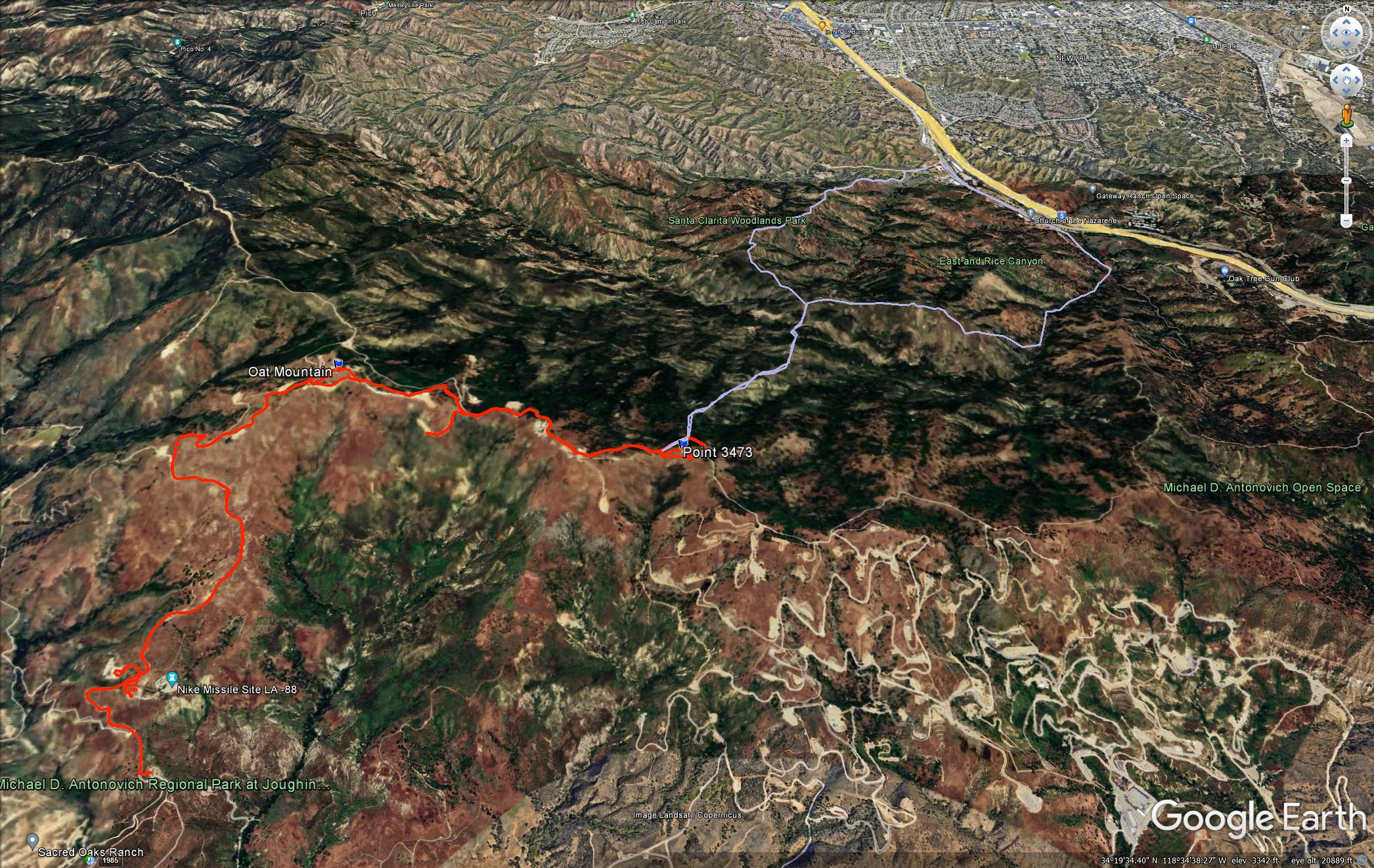
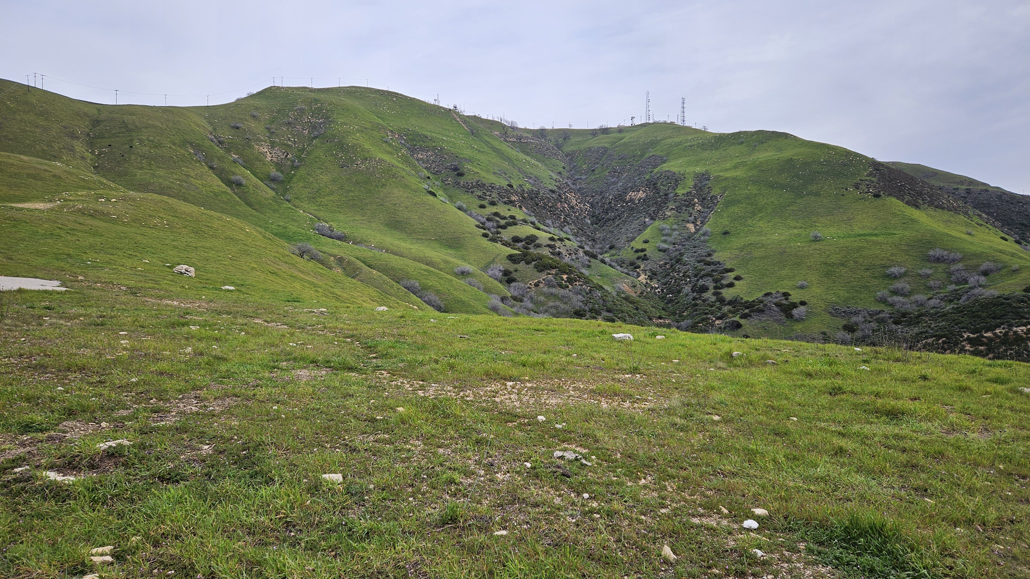
I started at 7:30 AM, expecting to cover the distance to the rendezvous and arrive around the time I expected them to emerge from the park. The entire road was paved. I crossed a cattle guard and found myself surrounded by bovines, including several bulls. The bulls faced me directly and watched my every move. I left the road at one point to give one a wide berth. Fortunately, none were in the mood to charge me. I blazed up to Oat in less time than I expected. The views were darn nice for a small mountain near Santa Clarita. So much green from recent rain. The summit swarmed with towers and barbed wire fences. The gate to the facility on Oat was ajar enough to get in, but I didn't see anything inside of interest. I took a short break, then continued down the other side. I followed the road another 1.7 miles to Point 3473. Yet another bump with another cluster of towers. Just below Point 3473 was where the ridge met the road.
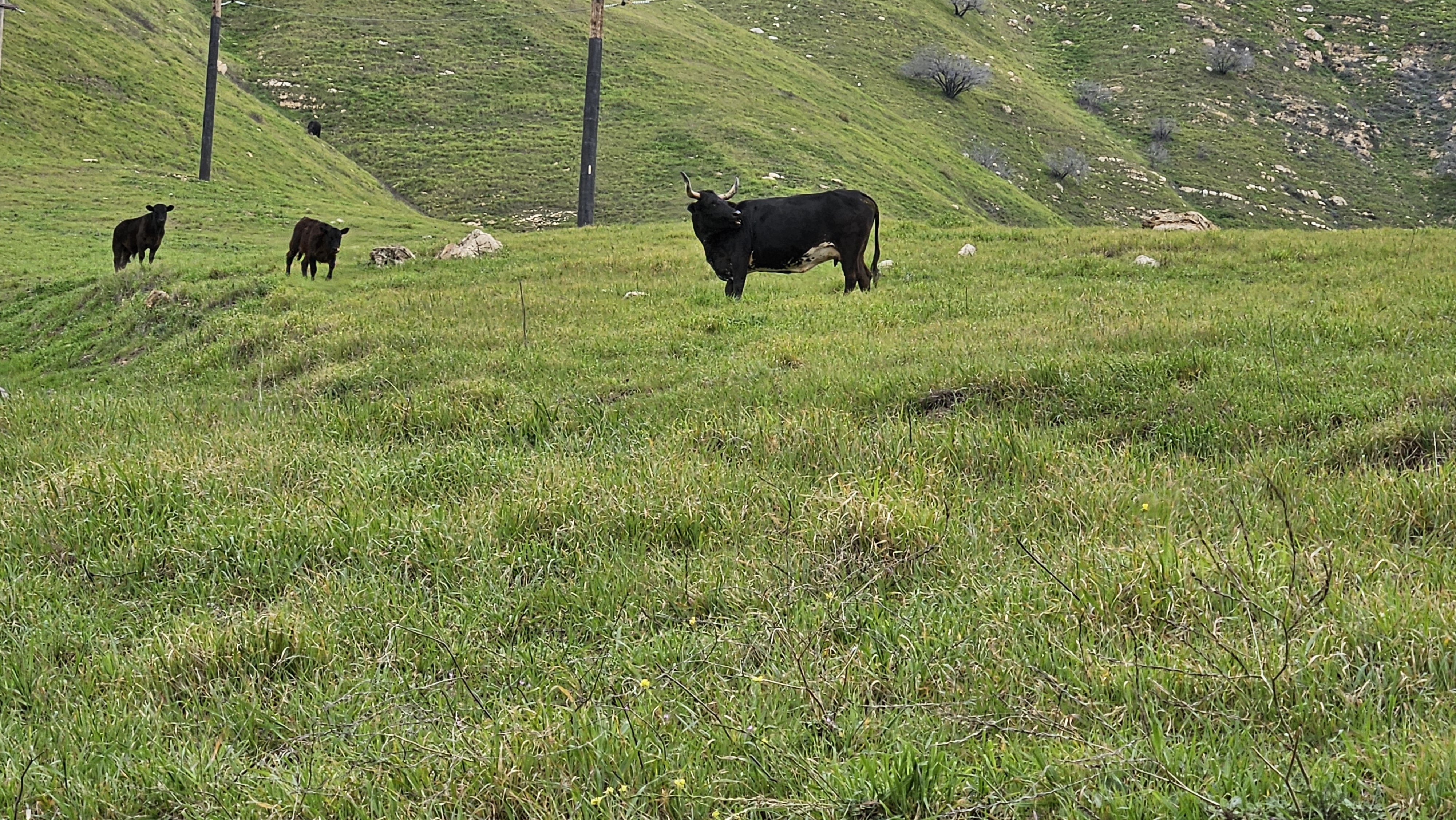
One of many bulls protecting the herd, I gave this one plenty of space

Another bull

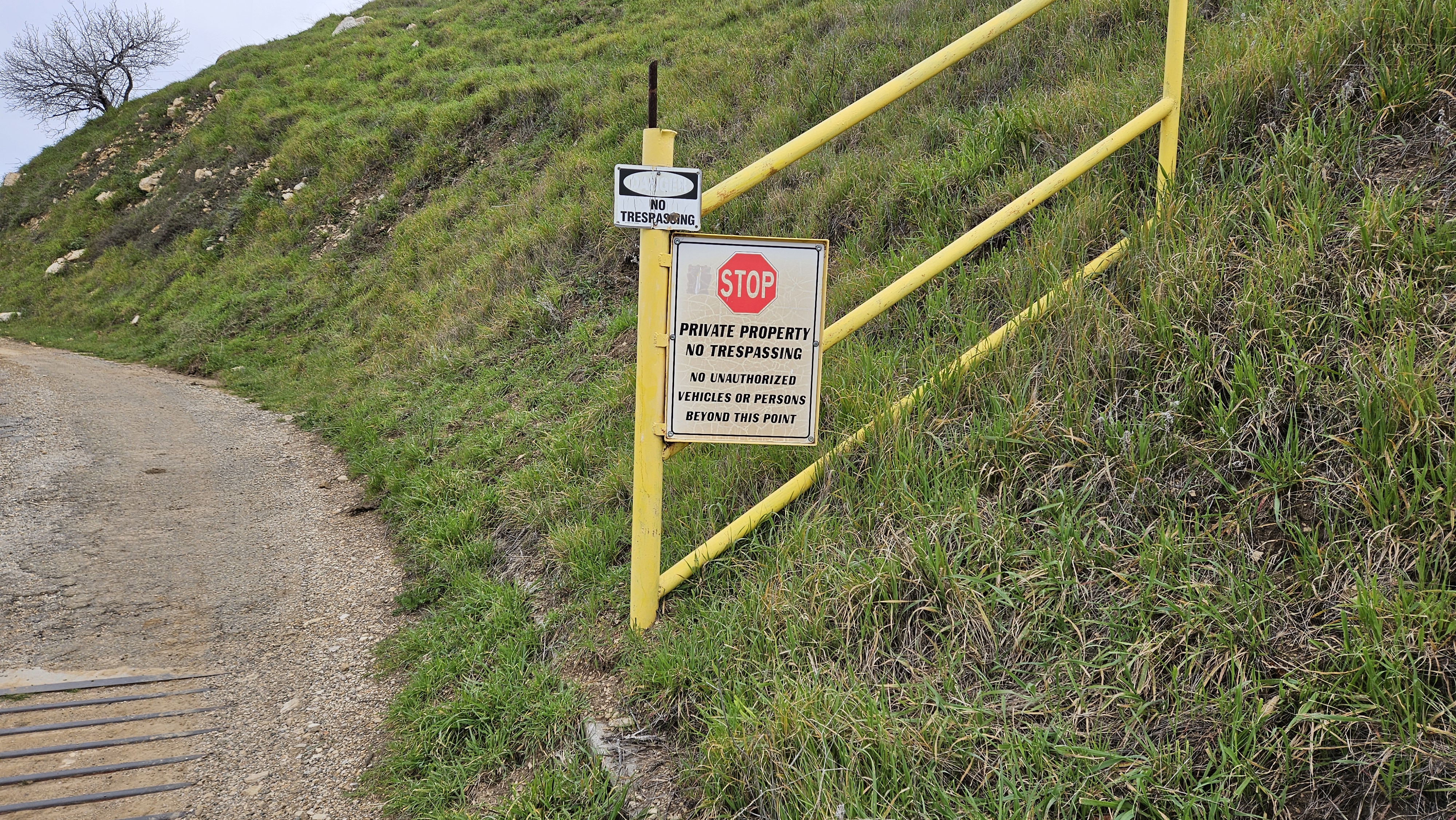
No one's stopped me yet

Oat Mountain summit

Rendezvous point

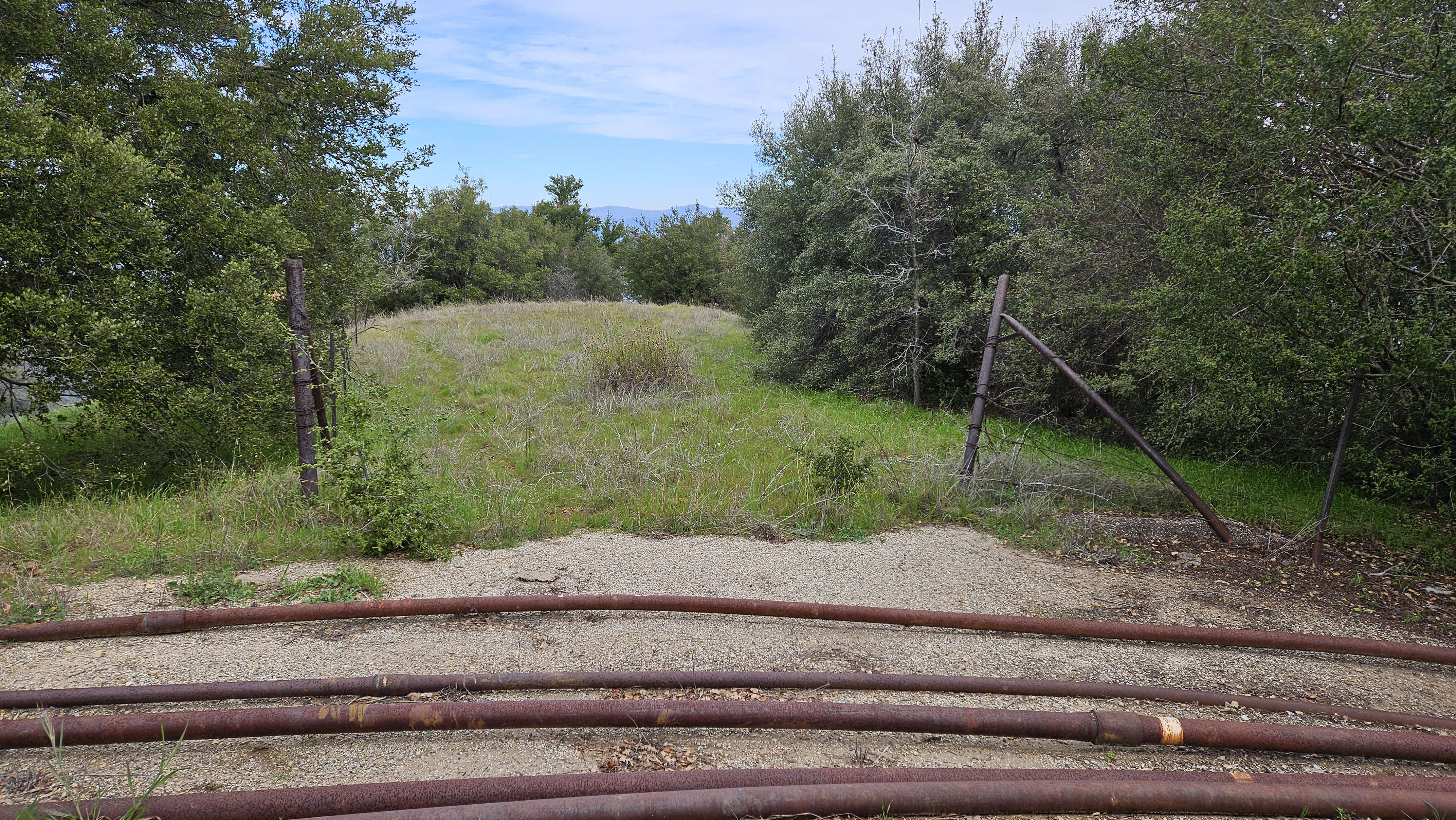
Rough ridge connecting to the road

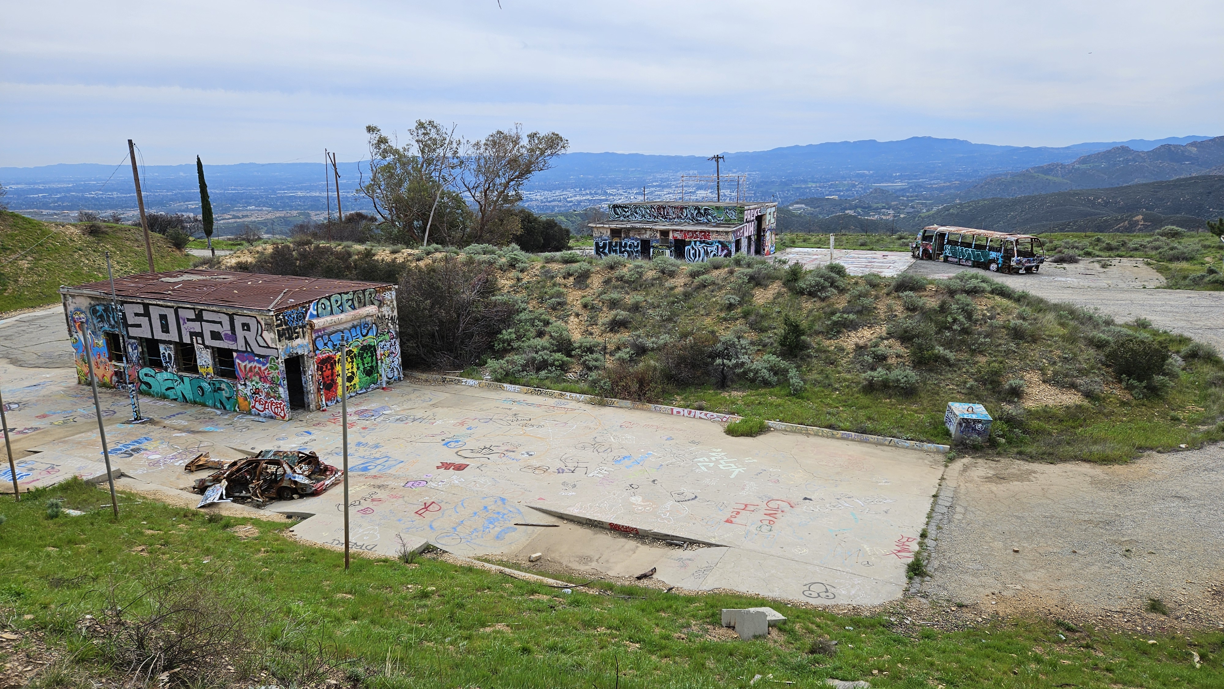
When I reached the rendezvous, I texted Sean Cucamonga that I had arrived. I spent the next hour snacking and pacing back and forth searching the ridge for any sign of movement. The upper section of ridge looked like it was bushy with exposed rock and sharp peaklets. It looked hard. At one point, I scanned the ridge with my phone camera at 10x zoom to see if I could spot them. After an hour, I figured they had run into problems and texted Sean that I was headed back. He replied shortly after telling me they were only half way up the ridge and would probably turn back. It not only looked like a tough route, it was. It was a bummer to miss everyone. On the way down, the cattle had moved away from the road and presented no threat. I looked around the old Nike missile site near the bottom, but didn't find much other than graffiti.

Oat Mountain from the east

Several pump stations dotted the landscape

Abandoned Nike missile facility

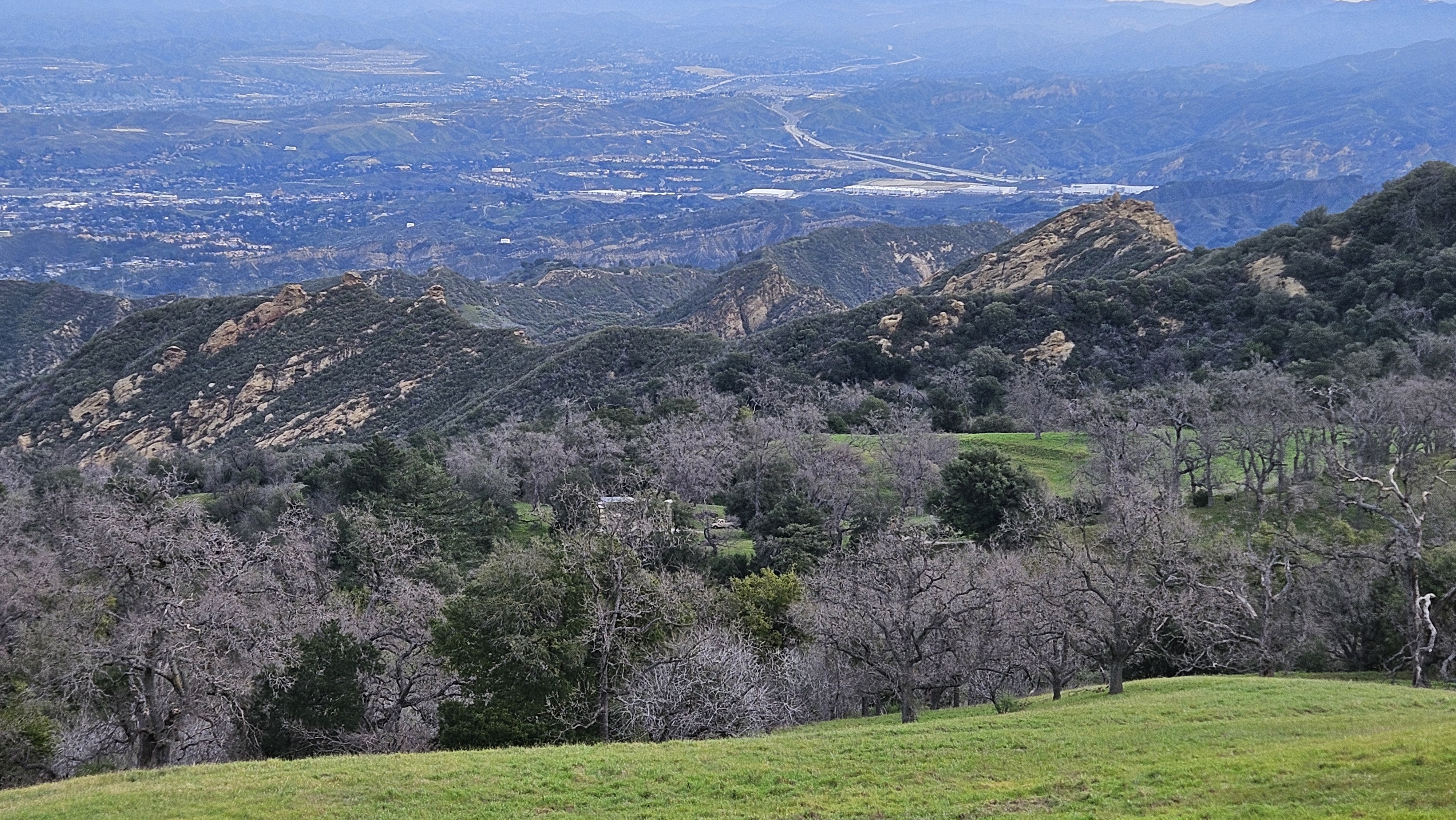
North toward Los Padres


My track in red, Nate's original plan in blue

Thursday, February 15, 2024

Sycuan Peak

Hiked: 2/13/2024
Distance: 2.1 miles round trip on trail
Summit Elevation: 2801'
Prominence: 801'
Elevation Gain: 790'
Elevation Gain (in Empire State Buildings): 0.6
Round trip time: 1 hour 10 minutes
Recommended water: 16 oz.
Parking/Fees: Free on Lawson Valley Road
Difficulty: Easy

Sycuan was my second planned hike after Mother Miguel. I had lunch with Parker in between and it was a game time decision based on the ankle. It felt strong enough to handle another easy hike. The trailhead for Sycuan was on Lawson Valley Road. However, there were no road signs at a tight pull off area on the north side of the road. I drove past it the first time. The only indication of a trail was a chain with a small sign that read Boundary Ecological Preserve. I ventured past the sign on what looked like an abandoned road. It shrunk to a single track at one point, then expanded again. The trail was deeply rutted in places. The summit had an electric (or telephone) pole with wire going over and down the other side. An 8' boulder marked the high point. I stood on the boulder with unease, testing my stability at an odd angle. Felt solid enough, though I was very careful getting down. I didn't find the benchmark, but didn't spend much time looking. I found a mason jar with something inside, but it looked like tissue instead of a register, so I didn't open it. There were great views of Corte Modera, Lawson, and Gaskill. I snapped a few photos, then returned to the truck without meeting another soul. Sycuan had enough prominence to bump my P-index to 196, an unexpected plus.


Left to right: Corte Madera, Gaskill, Lawson, Lyons


Wednesday, February 14, 2024

Mother Miguel Mountain and Peak 1520

Hiked: 2/13/2024
Distance: 4.3 miles round trip on trail
Summit Elevation: 1527' (Mother Miguel), 1520'
Elevation Gain: 970'
Elevation Gain (in Empire State Buildings): 0.7
Round trip time: 2 hours
Recommended water: 24 oz.
Parking/Fees: Free on Paseo Veracruz
Difficulty: Easy

Based on the weather and my schedule this week, I needed to get a hike in on Tuesday. I decided to stick to easy fare in San Diego County. First up was Mother Miguel in Chula Vista. The trail started behind a suburban development on Paseo Veracruz. There was ample parking on the curb and it was popular based on the number of vehicles parked there. There were no facilities, but just before you reach the trailhead on the left, was Mount San Miguel community park. It had shiny facilities and no crowds in the morning.

The dirt path began next to a house on the corner. It dropped to a T intersection near a creek. The official trail began just on the other side. The trail had a series of tight switchbacks, but they have been cut and eroded so much by foot and bike traffic that I had a hard time staying on the trail. The sat view showed a direct use trail up the mountain cutting every switchback. All over the mountain were signs that read "This is not a trail" and posts with ropes in between. All of it ignored by everyone but one party on the mountain and me. It seemed a lost cause for this trail to be restored. It's too trampled and eroded. At the top, there was a large rock cairn with a new register in a plastic box. I signed in knowing it would probably not last long with so much traffic. There was also a flag pole with three flags waving: the US flag, Marine Corps flag, and a POW-MIA flag in that order. There was a nice view over the Sweetwater Reservoir to downtown San Diego. Lyons Peak was also nearby. After a brief stop, I continued less than a quarter mile to Peak 1520, only 7' lower. The summit consisted of small boulders and brush. I stopped there for water, then turned around. There was steady stream of hikers, but it wasn't overly crowded. The ankle felt alright as I drove to SDSU to pick Parker up for lunch. We destroyed some Old Timers at Chili's and talked about circuit design before I returned him to campus to continue his studies.

Start

Mother Miguel


Sweetwater Reservoir, downtown San Diego, Pacific Ocean

Lyons Peak (no public access)

Peak 1520


Saturday, February 10, 2024

Cottonwood Mountains High Point

Hiked: 2/9/2024
Distance: 4.2 miles round trip cross country
Summit Elevation: 4493'
Prominence: 1153'
Elevation Gain: 1345'
Elevation Gain (in Empire State Buildings): 1.0
Round trip time: 3 hours 15 minutes
Recommended water: 24 oz.
Parking/Fees: $30 National Parks Fee or National Parks Pass
Difficulty: Easy

Forty days and forty nights after my ankle break, I bagged the Cottonwood Mountains High Point in Joshua Tree. Under normal circumstances, Cottonwood would have been the first of a two or three peak outing, but with the recovering ankle, it was about the right amount of challenge. I chose an easy desert peak as a starter, but one that would test the ankle from all directions and let me start rebuilding the tendons and ligaments in my foot, and the muscle in my right calf. There was no trail to Cottonwood, but it was a short hike starting about four miles up Pinkham Canyon Road. I had been down this dirt road in 2015 when I hiked Monument Mountain. Monument was north of Pinkham Canyon Road and Cottonwood was south. The road was in better shape than I remember. Passenger cars can likely make the trip without issues.

I pulled off the road at an open spot. Several bumps were visible in the direction of Cottonwood, but there were two false summits, so the summit was not visible from my parking spot. I pulled on my flexible brace, but was uncertain how the ankle would hold up on the slopes. I was concerned mostly with side hill angles and coming down. There was a flat approach to the ridge, then a gentle rise. The rocks at this point were small and grass was abundant making the footing quite solid. Damp ground from recent rain also helped. I moved more slowly than usual, paying close attention to where I stepped with my right foot. Reaching the first false summit, I was fooled into thinking the next bump was the goal. The angles on the false summits were higher, but only moderate class 1. I reached the summit with some relief and found a register dated 1978, courtesy of Wes Shelberg. There were some nice views, but San Jacinto and San Gorgonio were both hiding in the clouds. Since Cottonwood was not on many lists, it doesn't see the kind of traffic other JT peaks enjoy. However, it is a P1K so it's not ignored. This day, I had the entire mountain to myself. Getting down proved even slower. Whenever I had weight on the right foot, and my toes were below my heel, there was discomfort. Needs work. At my normal pace, this hike would have taken me 45 minutes less. Still, I was satisfied to be outside and put something on the scoreboard.

Start, summit not visible

Braced

False summit

Another false summit

True summit

Monument Peak in the distance


Dark clouds on the way down


Wednesday, January 17, 2024

Unplanned Break

On New Years Day, we woke up at Lava Lava Beach Club in the end cabin. It was another glorious day on the Big Island and we set out on the semi-private beach to a spot where we usually found sea turtles. We settled at the spot but no turtles were around. Leisa wanted to stay on the beach a while longer and I returned to the cabin to get in a quick jog. I headed down the road toward the Kings' Shops mall. When I reached Waikoloa Beach Drive, I turned around and jogged back to the cabin. I checked my distance and it was only 0.9 miles. I decided I needed more steps so I started back down the road for another lap. Before I reached the turnaround, I stopped jogging and decided to cross the lava field between the road and Waikoloa Marriot. The black lava was soft but broken and sharp. I hopped over the field easily, not the slightest challenge compared to the boulder scrambling I typically do in the mountains. I got across the lava in minutes to a 2' dirt barrier between the field and the Marriot parking lot. Feeling energetic, I jumped on top of the barrier with my left foot and landed on my right.

When I landed, my right foot was turned slightly inward. The running shoes I wore had zero lateral support. My ankle rolled under my foot and I heard a pop. A bolt of pain shot from the right side of my ankle about 4 inches up the side of my leg. I muttered explitives I can't even remember, then started limping from the parking lot back to the road. With each step, I tried to access how bad the injury was. Every step was painful and after a dozen or so steps, I realized this was more than a simple ankle roll. I limped a half mile back to the cabin and immediately iced it. Swelling had already begun. When Leisa got back, I showed her the damage. We found an urgent care in the afternoon, but it was closed since it was New Years Day. We were half way through our vacation, but our activities were going to be limited the next few days. A double drag.

On January 2, we went back to urgent care and they sent me to the ER of Queen's North Hawaii Community Hospital. After x-rays, I was diagnosed with a closed avulsion fracture of the lateral malleolus of the right fibula. They put me in a boot and sent me on my way. The fibula is the smaller of two bones that runs between your knee and ankle. The tibia is the larger bone and a break in the tibia would have been much more serious. The fracture was at the bottom of the bone, so the ankle was stable. After a second set of x-rays, and a second review by my doctor at home, no surgery was needed. Rehab would consist of 4 weeks wearing a boot, and 2-4 weeks of physical therapy (overlapping the last week in the boot). When I wrote this, I was wearing the boot, two weeks and two days after the accident. Physical therpary starts tomorrow.

This was my first ever broken bone. I plan to rehab the hell out of it and be back in the mountains in the second half of February.

Aloha

Update 1/30/2024
I abandoned the boot for a flexible brace. I am in week 2 of physical therapy and it hurts so good. I do PT at home every day and I'm working in hip and ham machines at the gym to keep my legs from withering completely. Yesterday, I bought a pair of Saloman Ultra X 4 Mids with better ankle support than my Merrells. The ankle brace fits into the boot without fuss and I took them to an easy local trail for a two mile break in. I was feeling some minor pain on the way back, but consider it a success. I have another month or so of physical therapy, followed by a few more weeks to fully heal. Beyond that, I have to overcome the psych issue of trusting the ankle again. I am planning an off trail hike with my San Gabe friends at the end of February, but might have to take the road and meet them on top if I'm not feeling it. That will be a true test in multiple dimensions.


Tuesday, January 16, 2024

South Point, HI

Hiked: 12/31/2023
Distance: 0.5 miles round trip on trail
Summit Elevation: 0'
Elevation Gain: 25'
Elevation Gain (in Empire State Buildings): 0
Round trip time: 15 minutes
Recommended water: 0 oz.
Parking/Fees: Free on South Point Road
Difficulty: Easy

This was a travel day, going from super wet Hilo to sunny Kona. We wanted to take the southern route to see a different part of the island. The first stop was Punalu'u black sand beach. I expected the sand to be hotter than regular sand but it wasn't. There were a few turtles sunning on the beach in an enclosed area and we saw a few heads pop up in the water. There were no restrooms at the beach, but there was one a short walk away at the camp site. It was a super nice beach and a draw for a lot of tourists, even through it was pretty far out of the way.

Beach with camp site in the distance


Next, we drove to South Point. The last ten miles or so are on a very narrow road, one lane at points. There were more people headed there and coming back than I would have guessed. We parked at the end of the road and walked a quarter mile on dirt and sand to reach the southernmost point in the United States. The point is well south of the Florida Keys. The shore was filled with shells, the rocks jagged, and the sea rough. Local fishermen were lined up along several sections. There was a jump off point on the western side where the sea was calm, but neither of us wanted to make the 40' leap, even with a ladder to get back up. We spotted a couple of snorklers on the western side bobbing in the swell.