Saturday, October 3, 2015

Combs Peak

Hiked: 10/2/2015
Distance: 4.7 miles on trail and use trail
Summit Elevation: 6193'
Prominence: 1313'
Elevation Gain: 1140'
Elevation Gain (in Empire State Buildings): 0.91
Round trip time: 2 hours 30 minutes
Recommended water: 48 oz.
Parking/Fees: Adventure Pass
Difficulty: Easy

Combs Peak is #4 on the Sierra Club San Diego Peak list. It sits in a strategic location between Palomar and the Santa Rosa range and at 6193' offers outstanding views. To get to the trailhead, turn on Chihuahua Valley Road from Highway 79, when the road makes a 90 degree right turn, continue straight on a dirt road then immediately right on Lost Valley Road, also a dirt road. Continue past mile marker 4 to a turnout on the left where the PCT crosses the road. Lost Valley Road is pretty rough and high clearance is recommended, but not required.

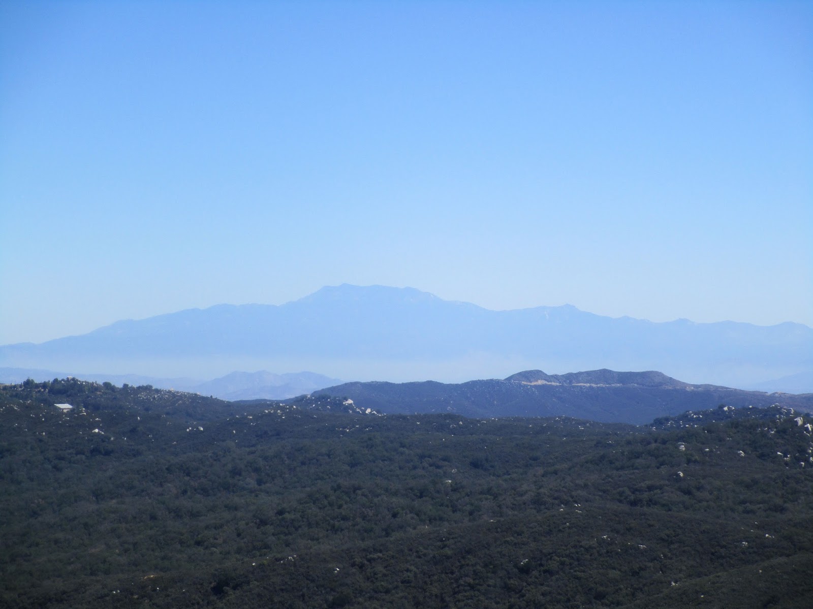
From the trailhead, we made our way up the mellow PCT to the cairn marking the use trail. The entire hike gains about 1140', but half of that comes in the final half mile. The use trail was loaded with cairns, guiding us through shrubs and burned trees. There were some steep, loose sections, typical of the desert peaks in San Diego county. At the smallish summit, we took in fantastic 360 views of San Gorgonio, San Jacinto, Palomar, and the entire Santa Rosa range including Rabbit and Toro Peak. The benchmark was dated 1939. There were three register books, the oldest dating back to 1995. We hung around the top a while and I got a good close up shot of a Tarantula Hawk wasp, then we cruised back down to the cars.


Trailhead on the PCT


Boulders with Combs Peak behind and the moon to the left


Cairn marking the start of the use trail


Row of cairns along the use trail


Moo working his way to the top


Large outcrop just before the summit


Combs benchmark, 1939


Tarantula Hawk on the summit


Toro Peak at the end of the Santa Rosa range

Photosphere from Combs Peak summit


Mica Benchmark

Hiked: 10/2/2015
Distance: 0.3 miles round trip cross country
Summit Elevation: 4292'
Elevation Gain: 100'
Elevation Gain (in Empire State Buildings): 0.08
Round trip time: 15 minutes
Recommended water: 0 oz.
Parking/Fees: Free at turnout on Chihuahua Valley Road
Difficulty: Easy

Mica Benchmark sits just north of Chihuahua Valley Road about three miles east of Highway 79. It is on the way to the Combs Peak trailhead. Moo and I stopped at the turnout and made the 15 minute round trip with no gear except a GPS and camera. There are a few boulders near the top, but the US Army Corps of Engineers benchmark itself is on the ground. Not far away is another benchmark placed by the San Diego County Engineering Department. Mica Benchmark was like a shiny penny on the sidewalk. You know it isn't worth much, but it's right there, so we bothered to pick up.


Friday, October 2, 2015

Palomar Mountain

Hiked: 10/2/2015
Distance: 0.9 miles round trip on dirt road
Summit Elevation: 6140'
Prominence: 2856'
Elevation Gain: 100'
Elevation Gain (in Empire State Buildings): 0.08
Round trip time: 20 minutes
Recommended water: 0 oz.
Parking/Fees: Adventure Pass
Difficulty: Easy

The Palomar high point has a fire lookout tower sometimes manned by volunteers like the Boucher Hill tower. As a hike, it is long slog from the east since private property separates it from the observatory. During certain months of the year, several roads are open allowing a drive up. Moo and I wanted to do an off-road trip in our 4x4 vehicles and while this would not test the capabilities of our vehicles, it gave us an excuse to kick up dust. Moo drove his Toyota FJ and I was in my 4Runner. Our plan was to drive up to Palomar, then head over to hike nearby Combs Peak.

There are at least two public dirt roads leading to Palomar, High Point Road and Palomar Divide Road (9S07). Halfway Road appears to be another route but I don't know if it is gated or goes through private property before it merges into Palomar Divide Road. We went up Palomar Divide Road from Highway 79. The only sign for it is a small brown 9S07 sign. The first mile is a dirt road, the next 5 miles are paved, and the final 7 miles are dirt. The road does not require 4x4, but there are half a dozen spots where a high clearance vehicle is helpful. Most cars can probably make it with careful driving. We planned to drive all the way up, but the final gate was closed, probably because no one was manning the tower. The hike from the final gate was less than a mile round trip. Views were surprisingly good in all directions, but since the summit is so wide, you have to walk around to see in all directions. No benchmark or register was found. The drive up took us about an hour.


Sunrise over Lake Henshaw, Cuyamaca on the horizon


Sunrise over Palomar Observatory


First view of the lookout tower at the high point


Moo on Palomar Divide Road


Approaching the tower


At the Palomar high point


Under the unoccupied and locked up tower


San Jacinto and San Gorgonio in the distance

Saturday, September 19, 2015

Old Sugarloaf, Peak 2040 via San Juan South

Hiked: 9/18/2015
Distance: 12.8 miles round trip on trail and use trail
Summit Elevation: 3326' (Old Sugarloaf), 2040' (Peak 2040)
Prominence: 546' (Old Sugarloaf), 350' (Peak 2040)
Elevation Gain: 3025' (combined)
Elevation Gain (in Empire State Buildings): 2.42
Round trip time: 5 hours 30 minutes
Recommended water: 96 oz.
Parking/Fees: Adventure Pass
Difficulty: Moderate

This was my second trip to Old Sugarloaf in the Santa Anas, but I started from the bottom of the San Juan Trail instead of descending from the top at Blue Jay Campground. The bottom of the trail starts on the right side of Hot Spring Canyon Road. To get there, turn onto Hot Spring Canyon Road at the fire station on Ortega Highway and continue about a mile to a large parking area. The trailhead has a restroom and trash cans.

The trail begins with short, zipper-like switchbacks for the first 300' of gain, then longer switchbacks up to the ridge line at about 1700'. At the ridge line is a junction on the right with the use trail to Peak 2040. I had found the register for 2040, which is not located at the summit, earlier in the year when I hiked up the firebreak. I followed the use trail about a half mile to bag Peak 2040 as a side trip. The trail was slightly overgrown in a few places, but easy to follow. The summit had a small cairn, but the register is quite a bit further at a lookout point above the fire station. I signed the register and saw that only one other person had signed it since my first visit in June. A large hunting knife was left near the register that was not there the first time. On the way back, I got great views of the southern Santa Ana peaks. Old Sugarloaf looked a long way out and I realized I had probably underestimated the length of my hike. While I was returning to the San Juan Trail, I heard some voices. Two mountain bikers had just passed the junction and were climbing up ahead of me. As a popular biking trail, a lot of the San Juan Trail is deeply rutted. This became an annoyance over time. I followed behind the bikers a couple of miles before they pulled away.
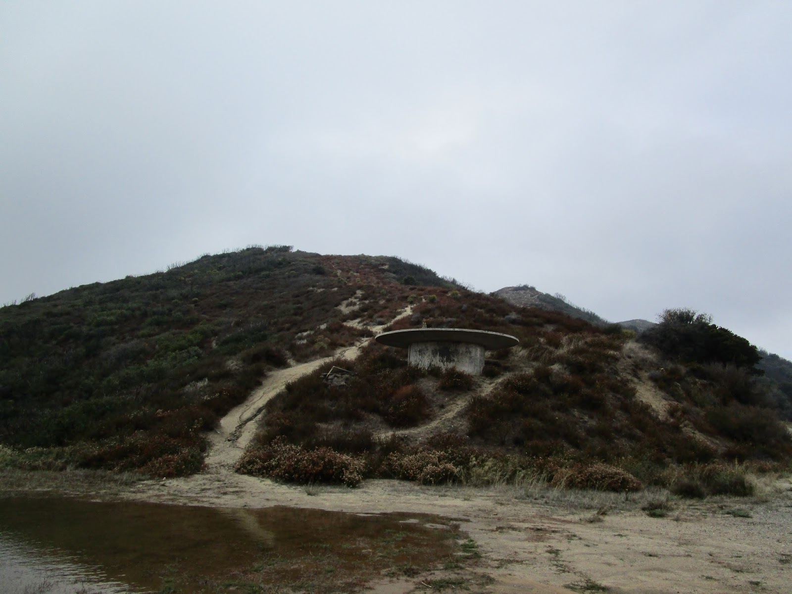

Bottom of the San Juan Trail


Looking up Hot Spring Canyon


Use trail to Peak 2040


Peak 2040


Peak 2040 summit


Peak 2040 register and bonus knife at the lookout point


Old Sugarloaf and Sugarloaf from Peak 2040

The switchbacks and gentle ascent seemed to go on forever. The trail wandered toward Old Sugarloaf, then veered away, then circled back. I got a good look at Los Pinos ridge during this hike and it looked tough, something for another day. Eventually, I got to the use trail for Old Sugarloaf and made my way up. There is only one short and easy scramble near the top, though the entire trail is pretty steep. I signed the register and wandered down the north ridge a little to get a feel for the brush. It was apparent early on that this was not a better way to Tanriverdi Falls. The north ridge was very steep and utterly choked. I loitered around the summit for about 15 minutes before packing up for the return trip. The descent was hot and I had to dodge a couple more bikers flying down the trail. Otherwise, it was uneventful.


Eroded hillside, Old Sugarloaf still more than a mile away


Use trail to Old Sugarloaf, easy to miss


Old Sugarloaf from the start of the use trail


Old Sugarloaf register


Santiago Peak behind Los Pinos ridge


Looking toward RSM and Mission Viejo


San Jacinto on the horizon


Wednesday, September 16, 2015

May Peak and Fernando 2 BM

Hiked: 9/16/2015
Distance: 1.8 miles round trip on use trail
Summit Elevation: 3948' (May), 4003' (Fernando 2)
Prominence: 328' (May), 1283' (Fernando 2)
Elevation Gain: 870' (combined)
Elevation Gain (in Empire State Buildings): 0.69
Round trip time: 1 hour
Recommended water: 16 oz.
Parking/Fees: Adventure Pass
Difficulty: Easy

May Peak is the newest mountain added to the Sierra Club Lower Peaks, in 2015 no less. I could not avoid a rush hour start time which meant spending quality time with four million of my closest friends, a million of them driving semi trucks, on the local 6-lane freeways. The adventure part of the hike was driving past downtown LA, with Google maps diverting me off and on the freeways to shave a few minutes here and there. In morning traffic, it took nearly three hours to get to the saddle between May Peak and Fernando 2 on the Santa Clarita Truck Trail (3N17). The mostly paved Santa Clarita Truck Trail is gated, and the gate was open. A sign says the gate closes at 6 PM. I would guess it opens at dawn. On the way to the trailhead, you must drive through LA County Fire Camp #9. There were a lot of cars and trucks parked at the facility, but I didn't see anyone outside as I drove through. Just past the camp, 3N17 dips down and right at a fork. The saddle is not too far after the fork and there is a wide parking area. Because of rain the day before, most of the saddle was under a shallow pool of water.

It was a surprisingly cool 55F under low, lingering clouds from the passing storm. I started up the damp firebreak, only muddy in places, for the short hike to May. It was about a mile round trip over a use trail and some false summits. Clouds blocked the views, so I focused on getting to the summit and signing the register. The register started in 2015, yet was already half full. The newest lower peak was quite popular. I concluded my business and jogged most of the way back, passing three other hikers on the way up from the saddle.

As soon as I was down, I headed up the firebreak toward Fernando 2. Fernando sports a healthy prominence of 1283' and the top was buried in the clouds. When I got to the top, I started looking around for the benchmark, expecting it on this side of the summit based on the topo maps. It was not hard to locate and was stamped "Camp 9". I am not sure about the origin of the Fernando 2 name. Still in the clouds, there was not much to see. I wandered around past the benchmark and found several fenced buildings and a lot of equipment. This location was one of the former Nike missile sites. It is still being used for something, though the missiles are long gone.


Gate on Santa Clarita Truck Trail (3N17)


Passing through the fire camp


Firebreak and bumps leading to May Peak (not visible)


Windbreak on one of the bumps


May Peak ahead


Register


Returning to the saddle and looking at the firebreak leading to Fernando 2 in the clouds


1983 benchmark stamped "Camp 9"


One of the fenced buildings with storage tanks