Distance: 11.2 miles round trip on paved road
Summit Elevation: 3747'
Prominence: 1987'
Elevation Gain: 2800'
Elevation Gain (in Empire State Buildings): 2.2
Round trip time: 4 hours 20 minutes
Recommended water: 54 oz.
Parking/Fees: $5 Parking Fee for Mountains Recreation and Conservancy Authority
Difficulty: Moderate
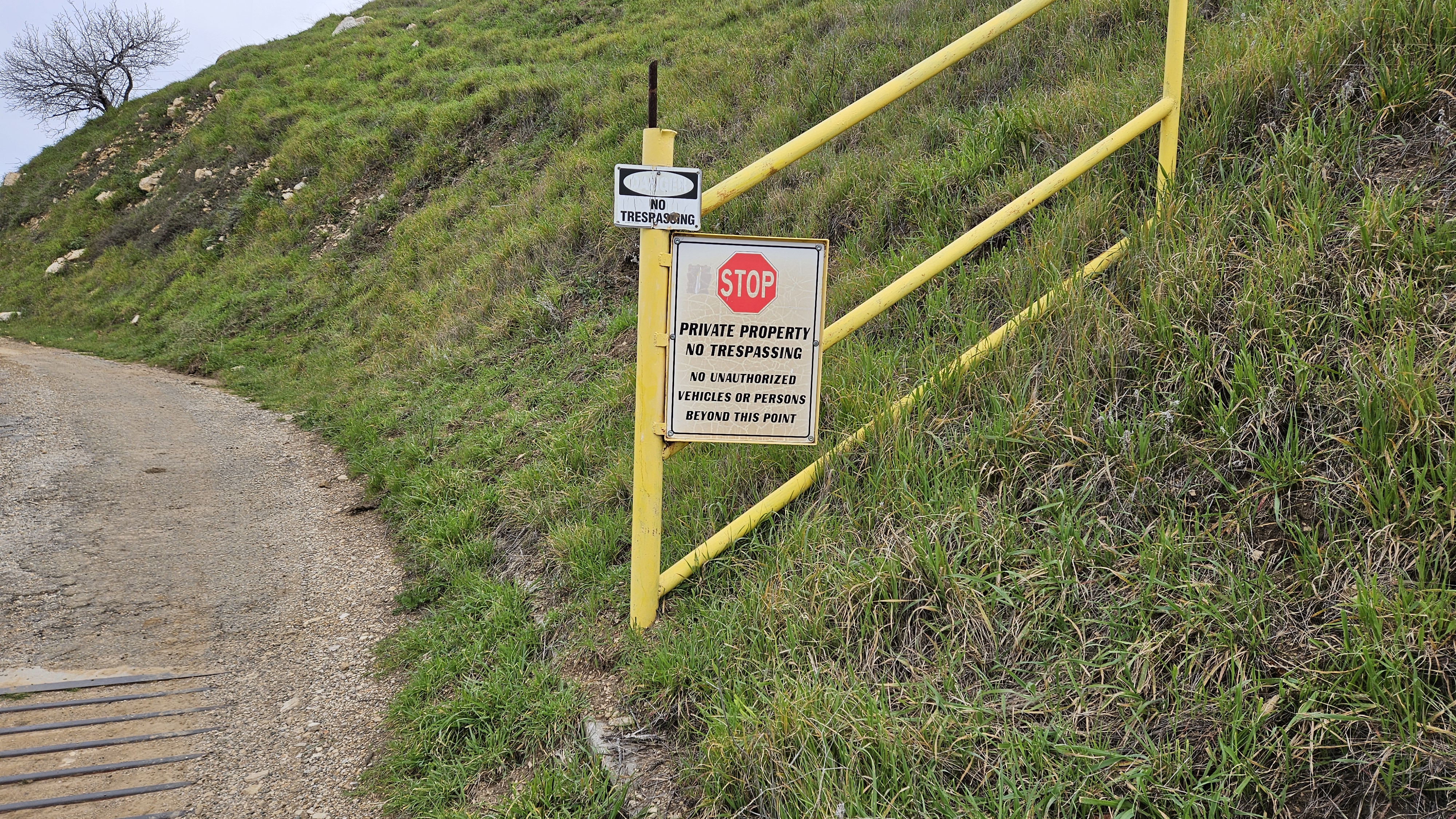
Nate Underkuffler and the San Gabriel ice pirates had planned an off trail scramble from Santa Clarita Woodlands Park to Oat Mountain (nearly a P2K). It was Nate's birthday hike. I had targeted this hike as a test of my ankle and thought I would be ready seven weeks after the break. But the day before, I was still recovering from physical therapy and decided to take the road route to Oat instead. I emailed the ice pirates about my plan. I wanted to summit Oat, then continue over it and meet them at the ridge/road intersection where they planned to exit the ridge. I parked at the lot at Joughin Ranch, not knowing it was a fee lot. I would have paid had I seen a pay station or sign. Instead, I came back to a ticket and a $73 citation.
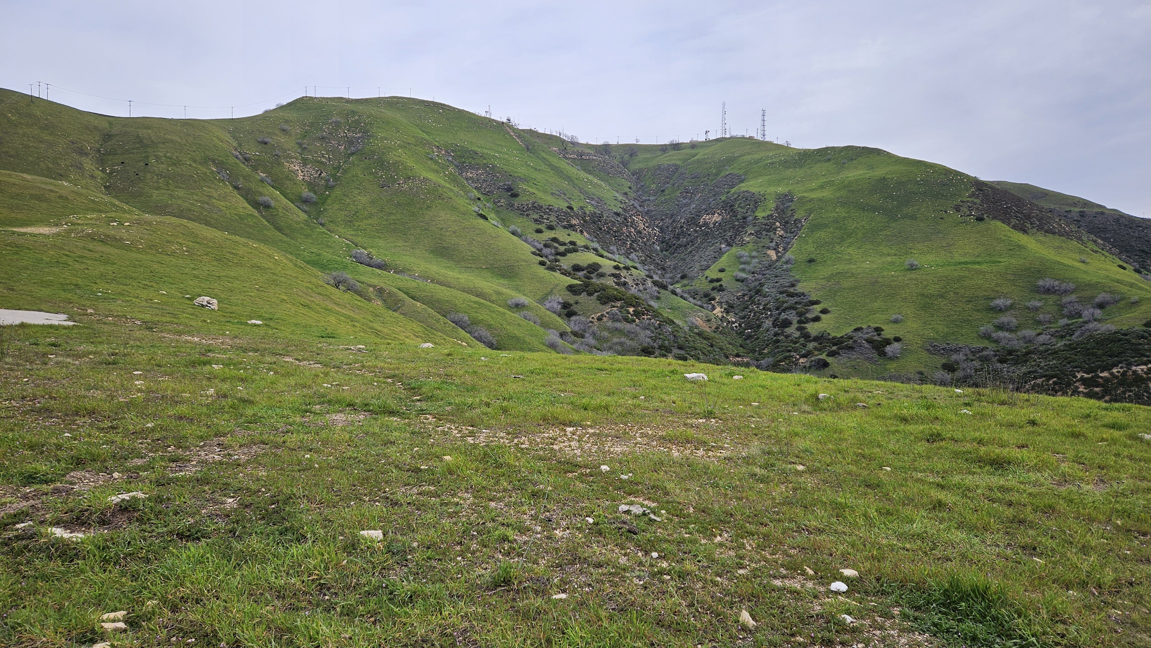
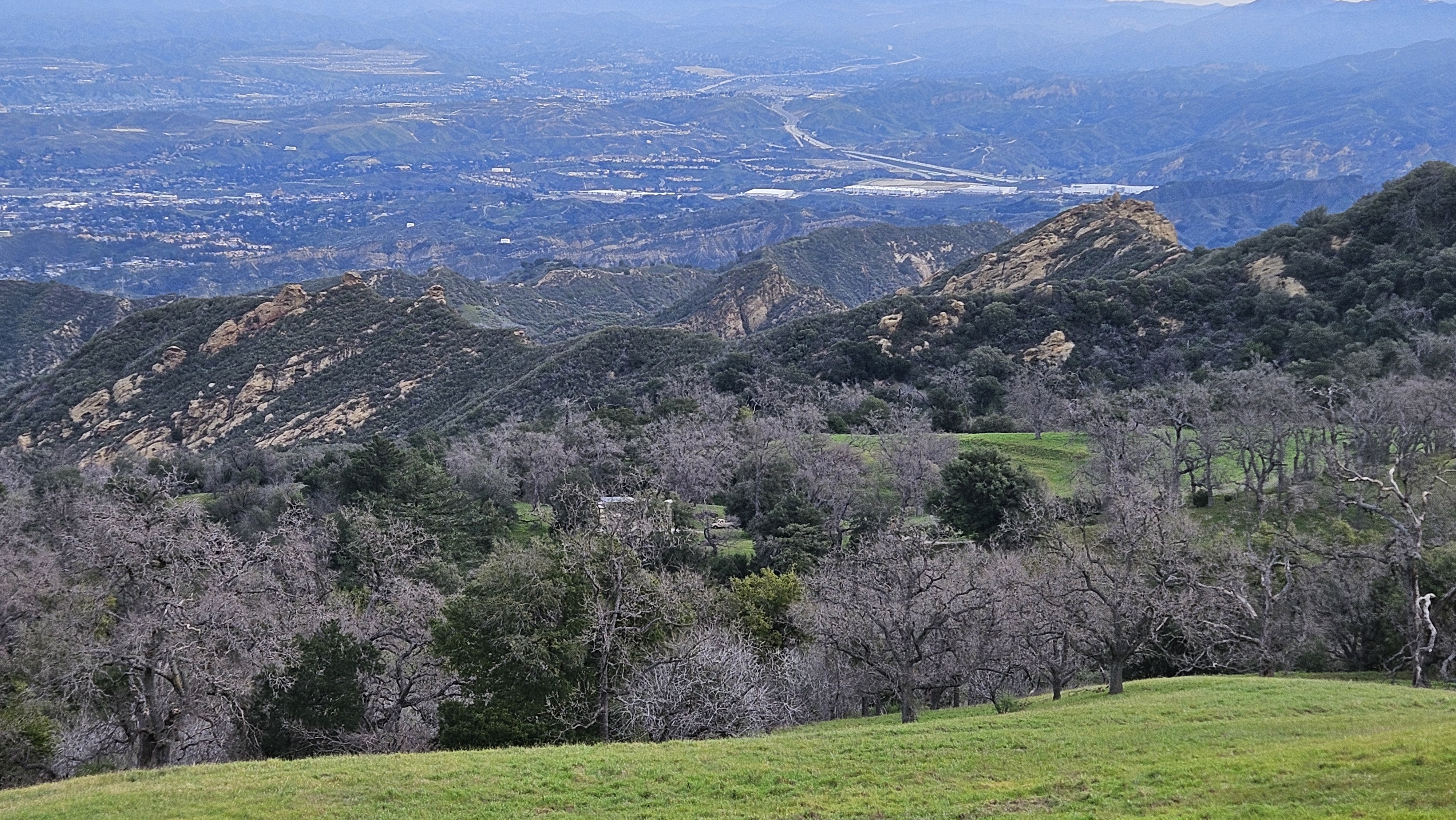
I started at 7:30 AM, expecting to cover the distance to the rendezvous and arrive around the time I expected them to emerge from the park. The entire road was paved. I crossed a cattle guard and found myself surrounded by bovines, including several bulls. The bulls faced me directly and watched my every move. I left the road at one point to give one a wide berth. Fortunately, none were in the mood to charge me. I blazed up to Oat in less time than I expected. The views were darn nice for a small mountain near Santa Clarita. So much green from recent rain. The summit swarmed with towers and barbed wire fences. The gate to the facility on Oat was ajar enough to get in, but I didn't see anything inside of interest. I took a short break, then continued down the other side. I followed the road another 1.7 miles to Point 3473. Yet another bump with another cluster of towers. Just below Point 3473 was where the ridge met the road.
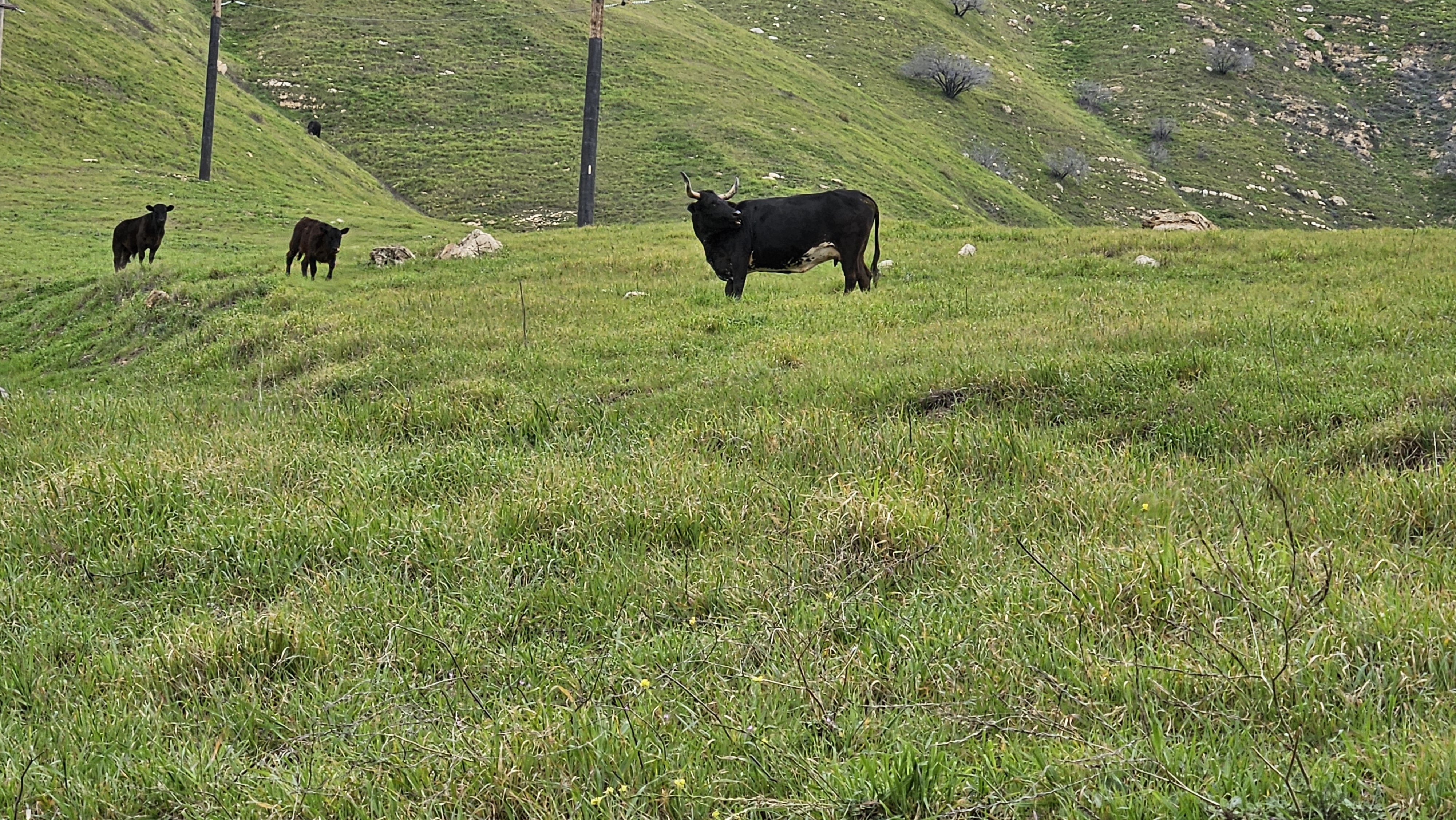


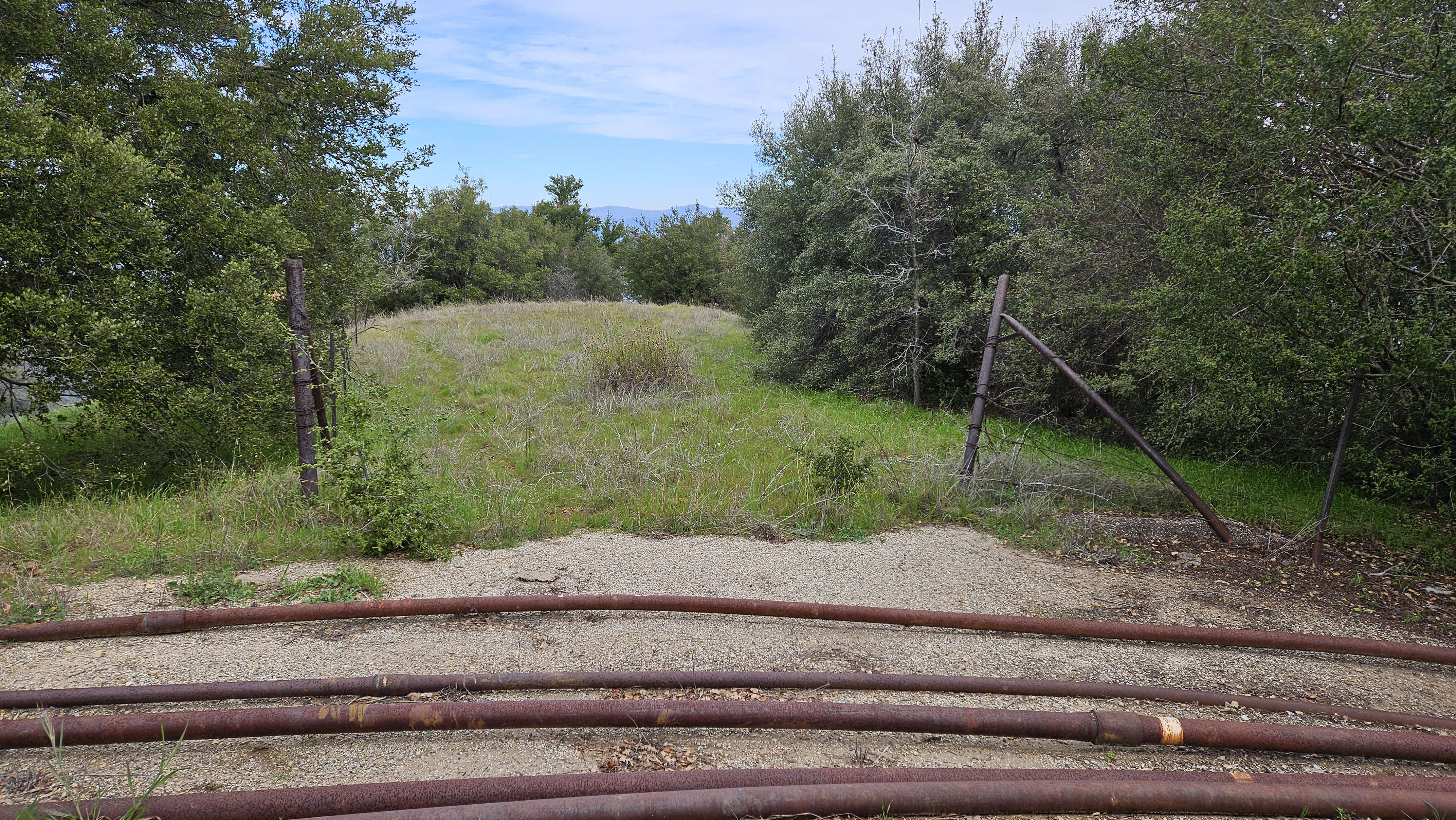
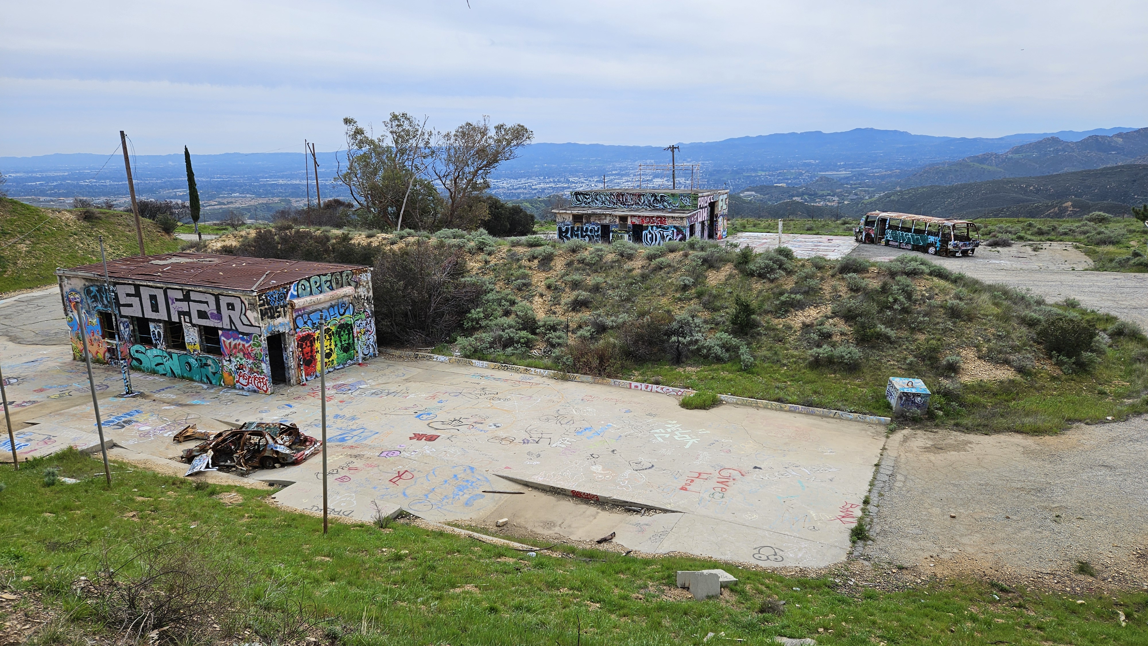
When I reached the rendezvous, I texted Sean Cucamonga that I had arrived. I spent the next hour snacking and pacing back and forth searching the ridge for any sign of movement. The upper section of ridge looked like it was bushy with exposed rock and sharp peaklets. It looked hard. At one point, I scanned the ridge with my phone camera at 10x zoom to see if I could spot them. After an hour, I figured they had run into problems and texted Sean that I was headed back. He replied shortly after telling me they were only half way up the ridge and would probably turn back. It not only looked like a tough route, it was. It was a bummer to miss everyone. On the way down, the cattle had moved away from the road and presented no threat. I looked around the old Nike missile site near the bottom, but didn't find much other than graffiti.


No comments:
Post a Comment