Distance: 8.3 miles round trip on trail and cross country
Summit Elevation: 2950' (Exchange), 2900' (Big Dome), 2930' (Pop Top), 3111' (Sandstone Peak)
Prominence: 2201' (Sandstone Peak), Others Unknown
Elevation Gain: 2613' (combined)
Elevation Gain (in Empire State Buildings): 2.09
Round trip time: 3 hours 45 minutes
Recommended water: 112 oz.
Parking/Fees: Free at Sandstone Peak trailhead off Yerba Buena
Difficulty: Moderate (combined)
After finishing Mugu Peak, I drove to the Sandstone Peak trailhead off Yerba Buena road, past the Circle X Ranch. In March, 2013, I failed to reach the top of Exchange Peak, and today I was back to right that wrong. I also needed to pick up the other Lower Peak I did not even attempt that day, Big Dome. If you have to revisit an area, there are worse places to go than the Sandstone Peak area, though it is way too far from my home to make it a frequent destination.
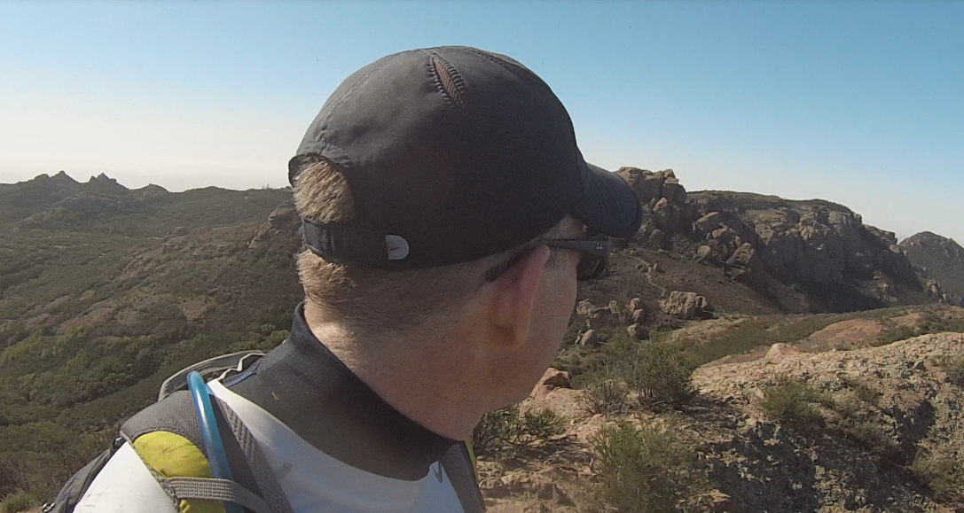
I started up the trail, taking a left on the Backbone trail, and passed Sandstone Peak, Boney Peak, and Inspiration Point without hitting any of them. I was focused on Exchange Peak first. When I got past the water tanks, I headed straight for it and found the use trail without any issues this time. Nothing beats good satellite prep. The use trail was narrow and wound around to the west side for an easy class 1 ascent. I found a battered benchmark, but no register anywhere on the long peak. I refueled and went down to the Backbone trail, then Mishe Mockwa trail toward Big Dome.

Sandstone Peak from the parking lot

Coming up on Exchange Peak

Looking down from Exchange Peak summit, Tri-Peaks on the left and Big Dome center

Exchange Peak damaged benchmark, maybe pointing to another benchmark?
The Sierra Club route to Big Dome goes around Tri-Peaks, but it looked closer to go cross country from the Mishe Mokwa trail. I looked for a break in the chaparral along the trail to head toward it. Once off trail, more chaparral appeared in a direct line, so I found a dry creek bed and headed up. It was mostly clear of obstructions, through an occasional yucca or strand of poison oak would temporarily divert me out of the creek. Eventually, I reached a clearing where I could climb to the saddle, then the top of Big Dome. I still had time, so I headed toward the unofficial peak Pop Top, nearby, but across a ravine. I gave up some elevation, then gained it back on the other side of the ravine where a well defined use trail took me to Pop Top in about 15 minutes. From that vantage point, a nice looking use trail heading to Tri-Peaks, the one mentioned in the Sierra Club route, was visible and looked more appealing than going back the way I came. On the other side of Tri-Peaks, I could connect back to the Backbone trail and complete a small loop. There was more evidence of the 2013 Malibu fire around Tri-Peaks. I circled around in front of it and found the trail back, though I passed my junction by a few tenths of a mile. I can't seem to get out of the Sandstone area without making a mistake. With still more time available, I visited Sandstone Peak (my second summit, but first for the day) and signed one of the three registers in the cubby below the monument. I got a few photos from the area high point, then called it a day.

Heading toward Big Dome

Navigating the dry creek bed, trying to find the way up

Looking back after exiting the creek bed

Pop Top from Big Dome summit
Spotting the use trail to Tri-Peaks from Pop Top

Ridge line of cliffs behind Pop Top and Tri-Peaks

Collection of peaks from Sandstone Peak summit


Sounds like this was a great trip, I've visited this area twice...that was enough for me...too far!
ReplyDeletewww.hikinginsocal.blogspot.com
Joseph,
ReplyDeleteI agree -- too far from the OC! It took me two trips to hit all the small peaks around Sandstone and my work is done there. If it was closer, I'd do more exploring. Lots of great formations.